Login

Forgotten password?

Cookies have to be accepted!
Your browser's cookie functionality is disabled. Please enable this functionality.

Not a member yet?

Register now
Login

Available for registred users only

Log in to use this feature.

Forgotten password?

Cookies have to be accepted!
Your browser's cookie functionality is disabled. Please enable this functionality.

Not a member yet?

Register now
Filter
Categories
Advanced filters
  • Distance (km)
  • Height
Save filters Reset filter

TrackRank

QRCode

Technical data

Distance32,6 km Height1556 m Way down2334 m Duration00:00 h:m Date16.07.2005
Scores Author Landscape Fun factor Fitness Technique

Statistics

1113 Views Scores 88 Downloads Average
Rate
  • Track data sheet
  • Directions
  • Downloads

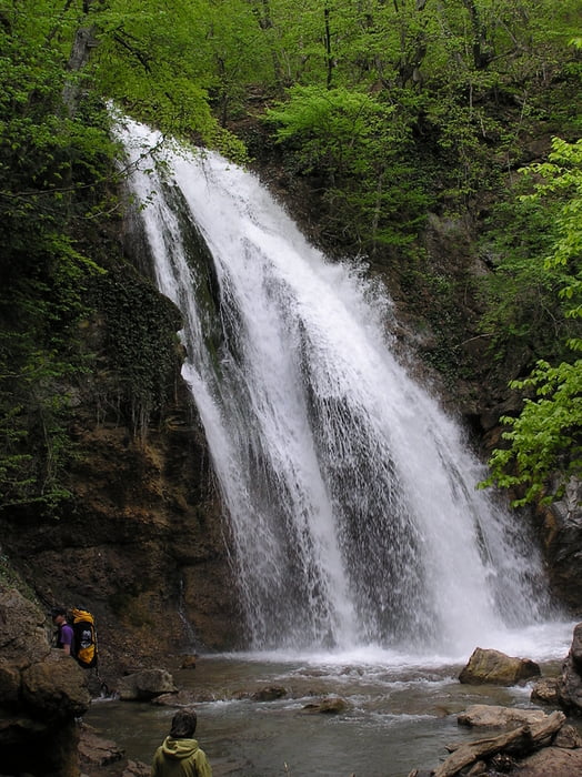
Wandertour vom Pass Angarsky pereval an die Küste bei Sonjatschnogirskje


Vorsicht, in der Ukraine gbt es keine Hüttenverpflegung, daher ist Mitnahme von Essen und Kochgeschirr Pflicht. Meistens wird auf offenem Lagerfeuer gekocht. Die Wälder um die geeigneten Camp-Stellen sind entsprechend von allem brennbaren Unterholz leergeräumt.

Wer in den Ukrainischen Feiertagen unterwegs ist, ist auf der Krim nie allein. zu anderen Zeiten ist es ruhig.

Von Sonjatschogirskje fährt ca. ein Mal täglich ein Bus in richtung Feodosia oder Apuschta / Jalta. Von dort aus kommt man wieder mit Bus oder Trolleybus zurück nach Simferopol.

Tour gallery

Tour map and elevation profile

  • Open Street Map
  • Google
Minimum height -13 m Maximum height 1243 m Detailed view

More about the tour author

zwoem
Member since 2005

Send private message

Comments

Mit dem Zug bis Simferopol, von da mit dem (sehr langsamen) Trolleybus oder einem Sammeltaxi zum Pass Angarsky pereval.

GPS tracks

Trackpoints
  • GPX / Garmin Map Source (gpx) download
  • TCX / Garmin Training Center® (tcx) download
  • CRS / Garmin Training Center® (crs) download
  • Google Earth (kml) download
  • G7ToWin (g7t) download
  • TTQV (trk) download
  • Overlay (ovl) download
  • Fugawi (txt) download
  • Kompass (DAV) Track (tk) download
  • Track data sheet (pdf) download
  • Original file of the author (gpx) download

More about the tour author

zwoem
Member since 2005

Send private message
Share track
Add to my favorites
Remove from my favorites
Edit tags
My score
Rate
Track: Krim Tour
Type: Hiking
Distance: 32,6 km
Evaluated on:
Duration:
Day(s)
Hour(s)
Minute(s)
Score: Landscape Fun factor Fitness Technique