


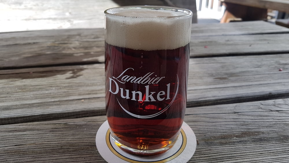
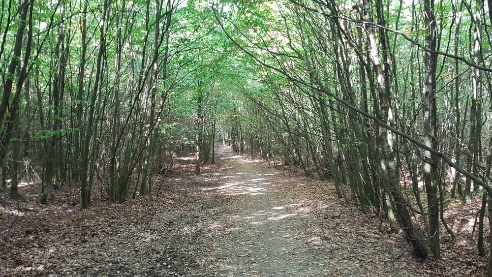
Hallo zusammen, dies ist eine kleine Rundwanderung die Jeder schaffen kann. Start und Ziel am Parkplatz Tackeberg. Auf der halben Strecke kann mann gut einkehren auf dem Lattenberg im Waldgasthaus Schürmann. Öffnungszeiten vorher auf deren Homepage kontrollieren.
Viel Spaß bei der Wanderung.
Further information at
https://lattenberg.de/Tour gallery


Tour map and elevation profile
Minimum height 219 m
Maximum height 434 m
More about the tour author

|
2Genusswanderer |
Comments

Parkplatz Landhaus Tackeberg
Neuhaus 54
59519 Möhnesee
Adresse Waldgasthaus Schürmann
Lattenberg 7
59823 Arnsberg
GPS tracks
Trackpoints-
GPX / Garmin Map Source (gpx) download
-
TCX / Garmin Training Center® (tcx) download
-
CRS / Garmin Training Center® (crs) download
-
Google Earth (kml) download
-
G7ToWin (g7t) download
-
TTQV (trk) download
-
Overlay (ovl) download
-
Fugawi (txt) download
-
Kompass (DAV) Track (tk) download
-
Track data sheet (pdf) download
-
Original file of the author (gpx) download
More about the tour author
|
|
2Genusswanderer |
Add to my favorites
Remove from my favorites
Edit tags
Open track
My score
Rate