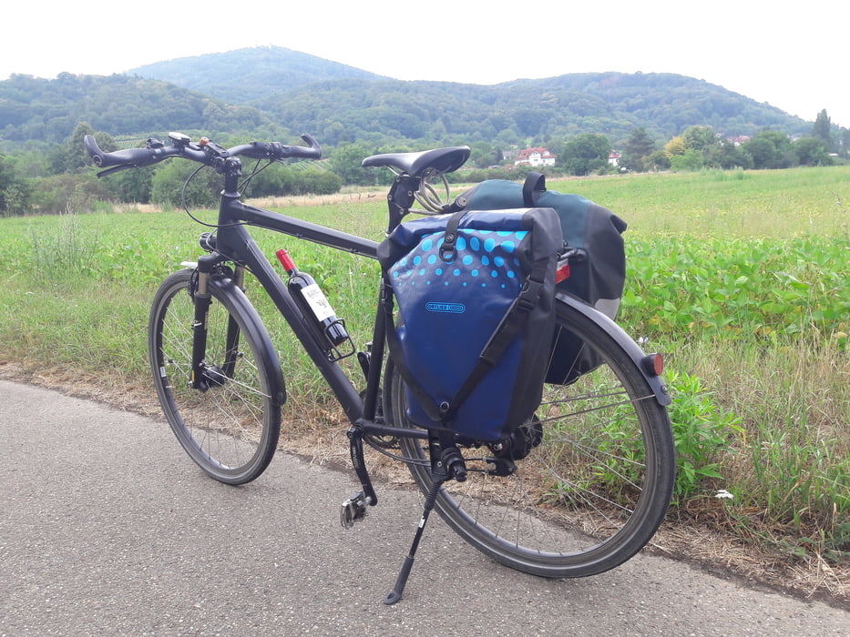
Die 6. Seniorentour begann, bedingt durch Corona, direkt an der Grenze von Belgien. Das Gepäck fuhr Larry, unser umsichtiger Fahrer. Wir trafen uns oft nach ca. 20 km an einem verabredeten Ort (meistens waren es Parkplätze bei einem Supermarkt).
4 Ü-60 Biker, davon 2 mit E-Bike.
Prima Bit gab es nicht nur am Brauhaus und die Weine sind auch sehr zu empfehlen.
Further information at
http://www.biketripps.de/index.htmTour map and elevation profile
Minimum height 32 m
Maximum height 528 m
Comments

GPS tracks
Trackpoints-
GPX / Garmin Map Source (gpx) download
-
TCX / Garmin Training Center® (tcx) download
-
CRS / Garmin Training Center® (crs) download
-
Google Earth (kml) download
-
G7ToWin (g7t) download
-
TTQV (trk) download
-
Overlay (ovl) download
-
Fugawi (txt) download
-
Kompass (DAV) Track (tk) download
-
Track data sheet (pdf) download
-
Original file of the author (gpx) download
Add to my favorites
Remove from my favorites
Edit tags
Open track
My score
Rate

