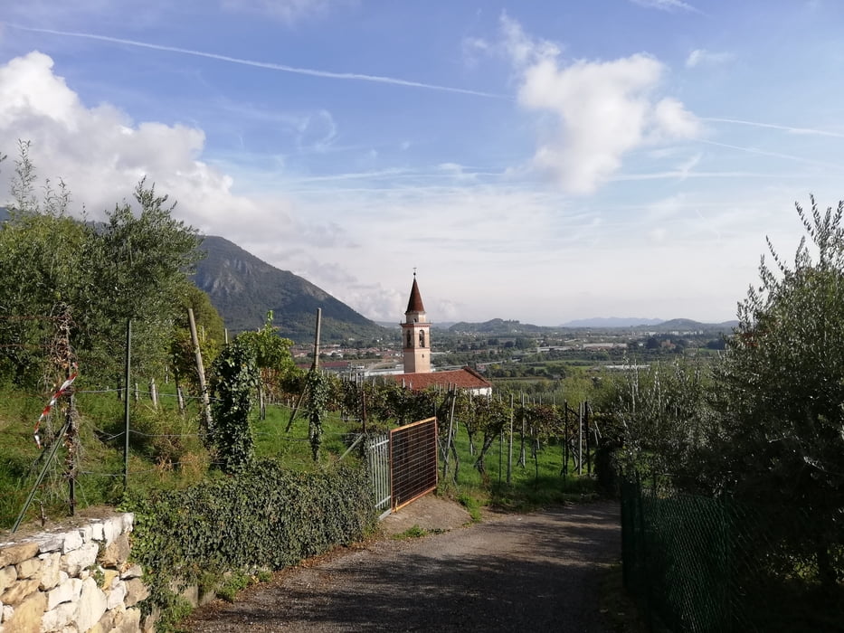
Passeggiata abbastanza impegnativa nelle colline Bassanese. Forse un po' troppo il percorso è stato contrassegnato dall'asfalto.
Bella giornata autunnale.
Bella giornata autunnale.
Further information at
http://italia.indettaglio.it/ita/veneto/vicenza_bassanodelgrappa_santeusebio.htmlTour gallery
Tour map and elevation profile
Minimum height 101 m
Maximum height 300 m
Comments

GPS tracks
Trackpoints-
GPX / Garmin Map Source (gpx) download
-
TCX / Garmin Training Center® (tcx) download
-
CRS / Garmin Training Center® (crs) download
-
Google Earth (kml) download
-
G7ToWin (g7t) download
-
TTQV (trk) download
-
Overlay (ovl) download
-
Fugawi (txt) download
-
Kompass (DAV) Track (tk) download
-
Track data sheet (pdf) download
-
Original file of the author (gpx) download
Add to my favorites
Remove from my favorites
Edit tags
Open track
My score
Rate


