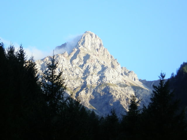
Leichte knappe 3 Std-Tour ins Brandnertal. Ich starte wie üblich von Ludesch. Die Tour kann aber auch von Bludenz oder Bürs gestartet werden. Wenn in Brand abgebrochen wird, ist die Route auch für Frauen und sportliche Jugendliche geeignet. Wir fahren von Ludesch den Radweg nach Bürs. Vor der Bürser Schlucht biegen wir links ab und fahren die alte Waldstraße bis zum Golfplatz nach Brand. Wer konditionell noch nicht so gut beieinander ist, sollte in Brand nach rechts zu Hauptstrasse abbiegen und die Route abkürzen. Ich bin den Alvierbach entlang noch Richtung Schattenlagant bis zur Strasse gefahren. Wer möchte kann der Strasse entlang noch die 120 Hm bis zur Schattenlaganthütte fahren und dort gemütlich einkehren. Ich bin jedoch gleich Richtung Bürserberg/Außerberg nach Bürs abgefahren.
Tour gallery
Tour map and elevation profile
Minimum height 525 m
Maximum height 1360 m
Comments

Von Feldkirch die A14 Ausfahrt Nenzing nach Ludesch. Parkmöglichkeiten: Ludesch Bahnhof, Großmarkt Sutterlütty, Gemeindeamt.
Start von Bludenz oder Bürs die Ausfahrt nach Bürs/Brand nehmen. Parkmöglichkeiten Zimbapark oder Interspar.
GPS tracks
Trackpoints-
GPX / Garmin Map Source (gpx) download
-
TCX / Garmin Training Center® (tcx) download
-
CRS / Garmin Training Center® (crs) download
-
Google Earth (kml) download
-
G7ToWin (g7t) download
-
TTQV (trk) download
-
Overlay (ovl) download
-
Fugawi (txt) download
-
Kompass (DAV) Track (tk) download
-
Track data sheet (pdf) download
-
Original file of the author (gpx) download
Add to my favorites
Remove from my favorites
Edit tags
Open track
My score
Rate

