Hier erwartet euch eine schöne kleine Wanderung die aus dem Ort: Kloster Lehnin, von einem kleinen Kostenlosen Parkplatz (Stand12/2019) für ca. 5-6 Autos startet.
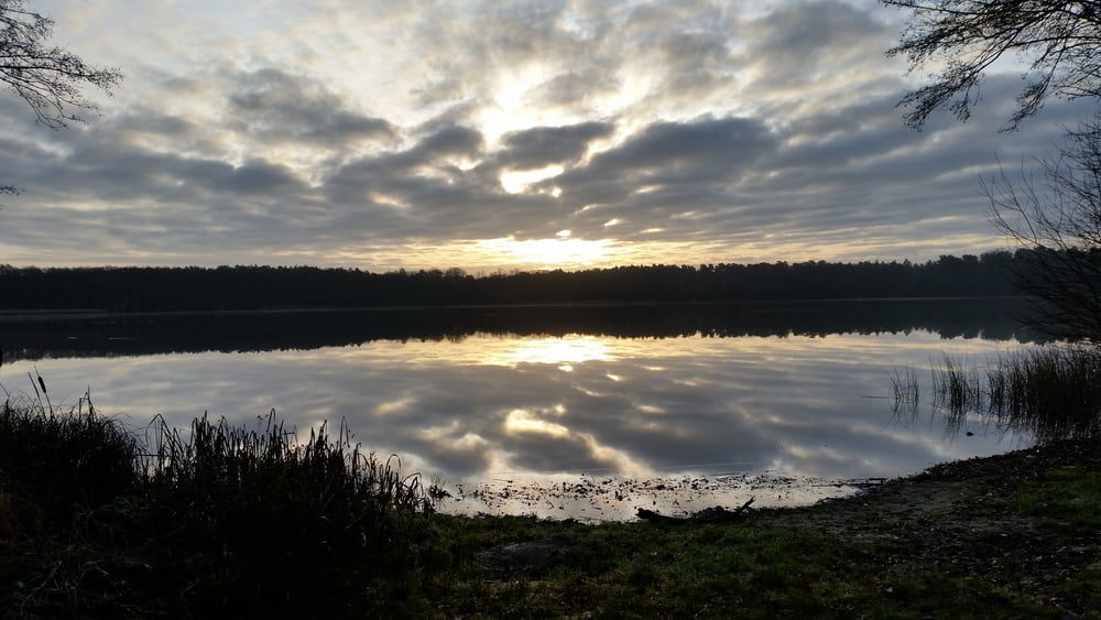
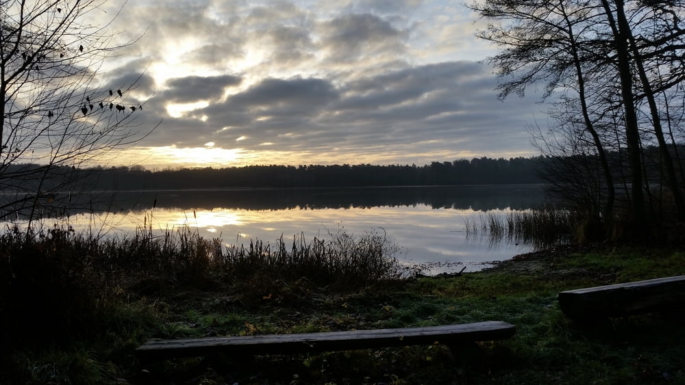
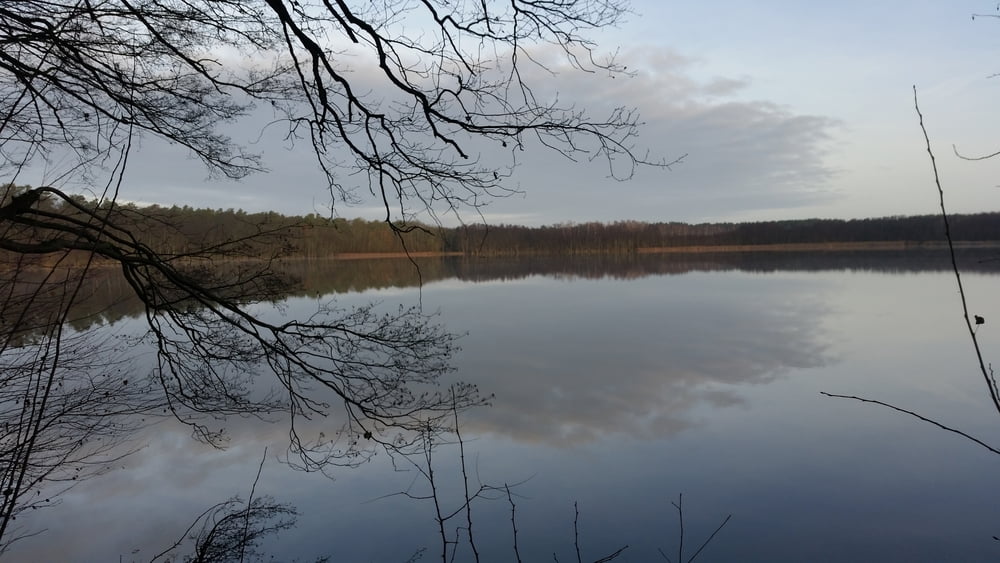
Sie führt teilweise um den Schampsee (fast komplett) und den Kolpinsee herum. Doch die Original Streckenführung ist eigentlich eine andere (gelber Kreis), sie gefiel mir aber nicht da der Hin- und Rückweg des Originals teilweise auf dem selben weg statfindet. So habe ich noch ein paar Schritte am "Luchgraben" mit in die Streckenführung eingearbeitet ;-))))))
Und den Rückweg fast parallel zum hinweg gewählt ;-))))))))))))))))))))))
So ist eine kleine ca 8,5 Km lange Rundwanderung entstanden ;-)))
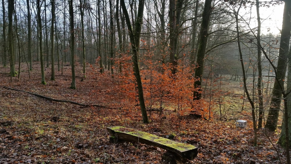
Unterwegs gibt es genügend Rastmöglichkeiten sowie bei Schönwetter die eine odere andere Badegelegenheit ;-) am Kolpinsee an den beiden Markierungen: Stand + Sitzbank und Rast Überdacht
Alle Wege sind vor Ort auch vorhanden.
Tour ist von allen überflüssigen wegpunkten bereinigt.
Nun viel Spass gewünscht ;-)
Further information at
https://www.klosterlehnin.de/Tour gallery
Tour map and elevation profile
Comments

Der Startpunkt der Tour kann auch als Anreisepunkt gewählt werden.
In Kloster Lehnin gibt es genügend kostenlose Parkplätze
GPS tracks
Trackpoints-
GPX / Garmin Map Source (gpx) download
-
TCX / Garmin Training Center® (tcx) download
-
CRS / Garmin Training Center® (crs) download
-
Google Earth (kml) download
-
G7ToWin (g7t) download
-
TTQV (trk) download
-
Overlay (ovl) download
-
Fugawi (txt) download
-
Kompass (DAV) Track (tk) download
-
Track data sheet (pdf) download
-
Original file of the author (gpx) download


