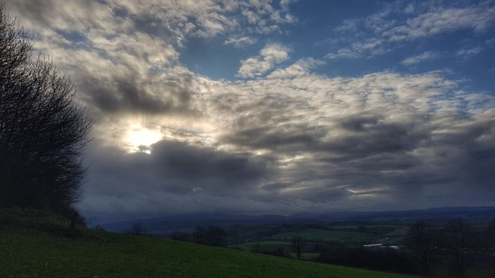
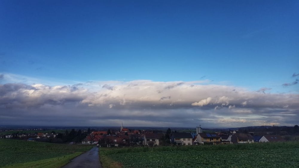
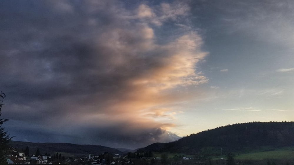
Endlich mal wieder auf's Bike bei milden Temperaturen und Schauermöglichkeit. Heute wegen der interessanten Wolken mal wieder zum Otzberg. Dann durch Lengfeld und über Heubach zum Kellergrund. Dann aufwärts zur Frankfurter Straße und nun nach Hause. #noebike
Tour gallery
Tour map and elevation profile
Minimum height 168 m
Maximum height 364 m
Comments

GPS tracks
Trackpoints-
GPX / Garmin Map Source (gpx) download
-
TCX / Garmin Training Center® (tcx) download
-
CRS / Garmin Training Center® (crs) download
-
Google Earth (kml) download
-
G7ToWin (g7t) download
-
TTQV (trk) download
-
Overlay (ovl) download
-
Fugawi (txt) download
-
Kompass (DAV) Track (tk) download
-
Track data sheet (pdf) download
-
Original file of the author (gpx) download
Add to my favorites
Remove from my favorites
Edit tags
Open track
My score
Rate


