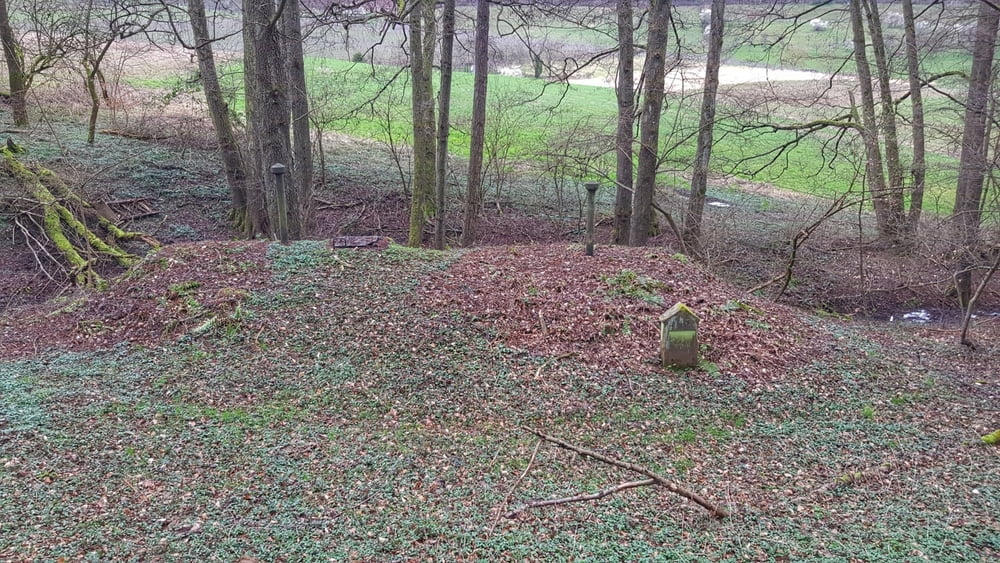
Wie gehabt. Immer noch sehr matschig im Wald, daher nur breite Wege gefahren. Zumindest kam Heute kein Wasser von oben dazu. Erst mal runter in das Mümlingtal und dann über das Georg-Verst-Heim hoch zum Dammberg und rüber zum Breubergblick. Dann wieder in das Mümlingtal und auf dem Mümlingtalradweg bis Hainstadt. Hier zum historischen Wasserwerk aus dem Jahre 1901 hoch und weiter zur Frankfurter Straße. Nun wieder zurück nach Hause. #noebike
Tour gallery
Tour map and elevation profile
Minimum height 140 m
Maximum height 373 m
Comments

GPS tracks
Trackpoints-
GPX / Garmin Map Source (gpx) download
-
TCX / Garmin Training Center® (tcx) download
-
CRS / Garmin Training Center® (crs) download
-
Google Earth (kml) download
-
G7ToWin (g7t) download
-
TTQV (trk) download
-
Overlay (ovl) download
-
Fugawi (txt) download
-
Kompass (DAV) Track (tk) download
-
Track data sheet (pdf) download
-
Original file of the author (gpx) download
Add to my favorites
Remove from my favorites
Edit tags
Open track
My score
Rate


