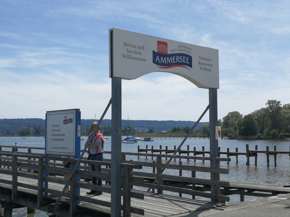
Tour gallery
Tour map and elevation profile
Minimum height 543 m
Maximum height 725 m
Comments
GPS tracks
Trackpoints-
GPX / Garmin Map Source (gpx) download
-
TCX / Garmin Training Center® (tcx) download
-
CRS / Garmin Training Center® (crs) download
-
Google Earth (kml) download
-
G7ToWin (g7t) download
-
TTQV (trk) download
-
Overlay (ovl) download
-
Fugawi (txt) download
-
Kompass (DAV) Track (tk) download
-
Track data sheet (pdf) download
-
Original file of the author (gpx) download
Add to my favorites
Remove from my favorites
Edit tags
Open track
My score
Rate


Rennrad?
1000 Dank für das Teilen der Strecke! Kann sie komplett mit Rennrad gefahren werden? Oder findet man auf dem Weg viel Schotter etc vor?
Danke dir, Kathy