


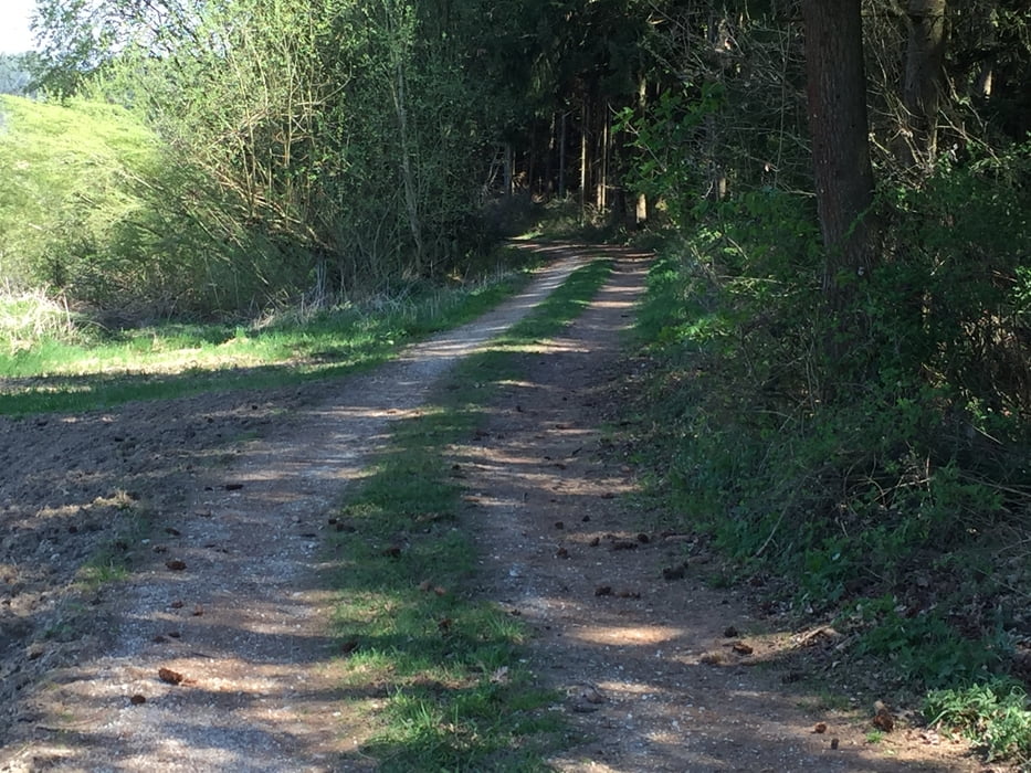
Start ist in Dingolfing beim Caprima. Zwischen Caprima und Eishalle hoch und dann Richtung Oberdingolfing, durch den Stadtwald und seitlich Grub bis nach Loitersdorf. Über Unterspechtrain, Weigendorf wieder zurück nach Dingolfing. Streckenführung nicht anspruchsvoll. Die Anstiege nach Heimlichleiden und dann von Spiegelbrunn Richtung Oberdingolfing fordern nochmal ein paar Körner.
Tour gallery


Tour map and elevation profile
Minimum height 354 m
Maximum height 495 m
More about the tour author
|
|
kleofass |
Comments

Von der alten B11 kommend an der Kreuzung der Ennserstr. Richtung Stadtmitte, über die Isarbrücke und Richtung Freizeitbad Caprima. Parkmöglichkeit auf der Kirtawiese (Parkplatz für Caprima-Besucher), Start ist zwischen Caprima und Eishalle.
GPS tracks
Trackpoints-
GPX / Garmin Map Source (gpx) download
-
TCX / Garmin Training Center® (tcx) download
-
CRS / Garmin Training Center® (crs) download
-
Google Earth (kml) download
-
G7ToWin (g7t) download
-
TTQV (trk) download
-
Overlay (ovl) download
-
Fugawi (txt) download
-
Kompass (DAV) Track (tk) download
-
Track data sheet (pdf) download
-
Original file of the author (gpx) download
More about the tour author
|
|
kleofass |
Add to my favorites
Remove from my favorites
Edit tags
Open track
My score
Rate