Login

Forgotten password?

Cookies have to be accepted!
Your browser's cookie functionality is disabled. Please enable this functionality.

Not a member yet?

Register now
Login

Available for registred users only

Log in to use this feature.

Forgotten password?

Cookies have to be accepted!
Your browser's cookie functionality is disabled. Please enable this functionality.

Not a member yet?

Register now
Filter
Categories
Advanced filters
  • Distance (km)
  • Height
Save filters Reset filter

TrackRank

QRCode

Technical data

Distance12,3 km Height638 m Way down634 m Duration03:00 h:m Date21.06.2008
Scores Author Landscape Fun factor Fitness Technique

Statistics

846 Views 1 Score 126 Downloads 4.00 Average
Rate
  • Track data sheet
  • Directions
  • Downloads

Schöne Wanderung durch das schöne Hessenländle in der Gemeinde Weimar (bei Marburg an der Lahn)

Startpunkt ist an der Grundschule in Cyriaxweimar

Viel Spaß beim nachlaufen
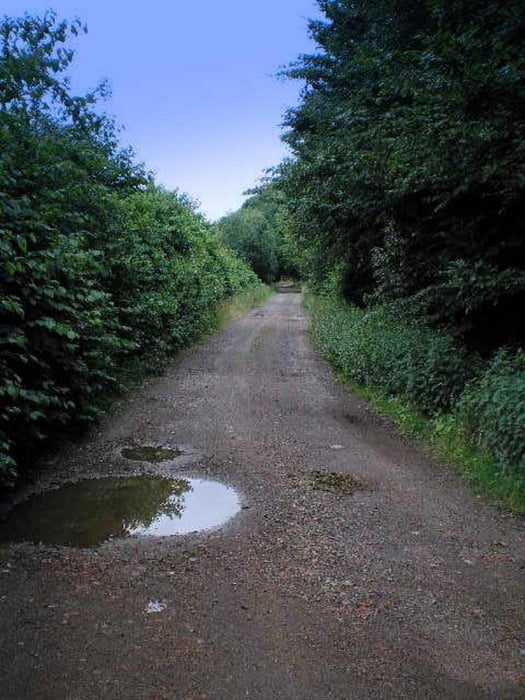
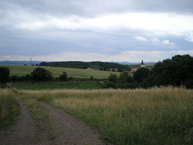
Tour gallery

Tour map and elevation profile

  • Open Street Map
  • Google
Minimum height 186 m Maximum height 407 m Detailed view

More about the tour author

Heinrichs
Member since 2007

Send private message

Comments

Gwyneth on 22.06.2008

Hallo, schönen Gruß von den zwei Mountainbikern die euch gestern "verfolgt haben". Wir werden heute eure Strecke nochmal nachfahren. Und ausserdem hab ich heute Geburtstag. Falls wir uns also in einem Jahr nochmal treffen sollten, bitte Geschenk nicht vergessen. Liebe Grüße von Hermann für Hermann und Gwynnie
Arno Brueck on 19.10.2008

Schöne Wanderung

Wir sind die Route heute bei strahlendem Sonnenschein gewandert. Leider findet man nur wenige Wanderungen dieser Länge. Also danke, und weiter so!
Gruß
Arno

GPS tracks

Trackpoints
  • GPX / Garmin Map Source (gpx) download
  • TCX / Garmin Training Center® (tcx) download
  • CRS / Garmin Training Center® (crs) download
  • Google Earth (kml) download
  • G7ToWin (g7t) download
  • TTQV (trk) download
  • Overlay (ovl) download
  • Fugawi (txt) download
  • Kompass (DAV) Track (tk) download
  • Track data sheet (pdf) download
  • Original file of the author (gpx) download

More about the tour author

Heinrichs
Member since 2007

Send private message
Share track
Add to my favorites
Remove from my favorites
Edit tags
My score
Rate
Track: Rundweg in der Gemeinde Weimar an der Lahn
Type: Hiking
Distance: 12,3 km
Evaluated on:
Duration:
Day(s)
Hour(s)
Minute(s)
Score: Landscape Fun factor Fitness Technique