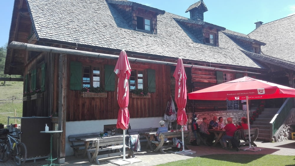
Start meiner Tour ist in Reichraming am Parkplatz beim Fahrradverleih. Von da an fahren wir den Hintergebirgsradweg ganz zurück. Durch die Tunnels durch vorbei am Schleierfall. Kurz vor dem Biwakplatz Weisswasser links Richtung Mosshöhe, nach einigen Höhenmetern rechts halten und rauf zur Mooshöhe. Von da an immer bergab nach Unterlaussa. Wir fahren ein kurzes Stück auf der Hengstpassstrasse Richtung Altenmarkt. Schon bald kommt die Abzweigung rauf zur Schüttbauernalm. Da geht´s 4,5 Km richtig bergauf. Da tut eine Rast auf der schönen Alm so richtig gut. Weiter ca. 300 auf einen Wanderweg dann geht´s auf Forstwegen und später auf Asphalt runter nach Kleinreifling. Von dort noch am Ennstalradweg über Großraming retour nach Reichraming.
Tour gallery
Tour map and elevation profile
Minimum height 347 m
Maximum height 1045 m
Comments

Zentrum Reichraming der Parkplatz neben dem E-Bike Verleih und er nächste auf der linken Seite sind Gebührenfrei.
GPS tracks
Trackpoints-
GPX / Garmin Map Source (gpx) download
-
TCX / Garmin Training Center® (tcx) download
-
CRS / Garmin Training Center® (crs) download
-
Google Earth (kml) download
-
G7ToWin (g7t) download
-
TTQV (trk) download
-
Overlay (ovl) download
-
Fugawi (txt) download
-
Kompass (DAV) Track (tk) download
-
Track data sheet (pdf) download
-
Original file of the author (gpx) download
Add to my favorites
Remove from my favorites
Edit tags
Open track
My score
Rate


