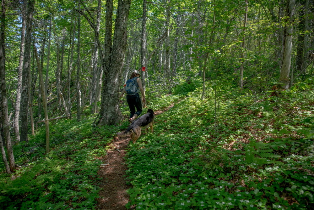
Loop. Moderate Hiking. around 2hr
Further information at
https://www.google.com/maps/place/Whycocomagh+Provincial+Park/@45.9667089,-61.1069887,17z/data=!3m1!4b1!4m5!3m4!1s0x4b5d73c838fdbe67:0x923cd92062a82cc0!8m2!3d45.9667052!4d-61.1048Tour gallery
Tour map and elevation profile
Minimum height
Maximum height 224 m
Comments

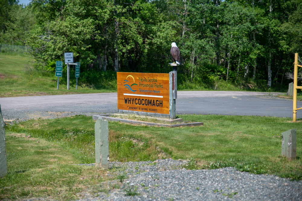
Parking at Whycocomagh Provincial Park. Camping nearby
GPS tracks
Trackpoints-
GPX / Garmin Map Source (gpx) download
-
TCX / Garmin Training Center® (tcx) download
-
CRS / Garmin Training Center® (crs) download
-
Google Earth (kml) download
-
G7ToWin (g7t) download
-
TTQV (trk) download
-
Overlay (ovl) download
-
Fugawi (txt) download
-
Kompass (DAV) Track (tk) download
-
Track data sheet (pdf) download
-
Original file of the author (gpx) download
Add to my favorites
Remove from my favorites
Edit tags
Open track
My score
Rate


