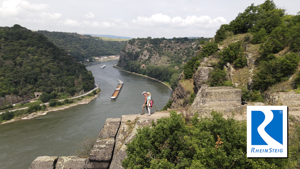
Die Etappe zwischen St. Goarshausen und Kaub ist eine der längsten und anspruchsvollsten am Rheinsteig - aber auch eine der abwechslungs- und aussichtsreichsten. Da der Rhein hier besonders viele Kurven hat, ändert sich die Perspektive häufig. Diese Aussichten muss man sich aber auch durch ein ständiges Auf und Ab verdienen.
Tour gallery
Tour map and elevation profile
Minimum height 73 m
Maximum height 345 m
Comments

GPS tracks
Trackpoints-
GPX / Garmin Map Source (gpx) download
-
TCX / Garmin Training Center® (tcx) download
-
CRS / Garmin Training Center® (crs) download
-
Google Earth (kml) download
-
G7ToWin (g7t) download
-
TTQV (trk) download
-
Overlay (ovl) download
-
Fugawi (txt) download
-
Kompass (DAV) Track (tk) download
-
Track data sheet (pdf) download
-
Original file of the author (gpx) download
Add to my favorites
Remove from my favorites
Edit tags
Open track
My score
Rate


