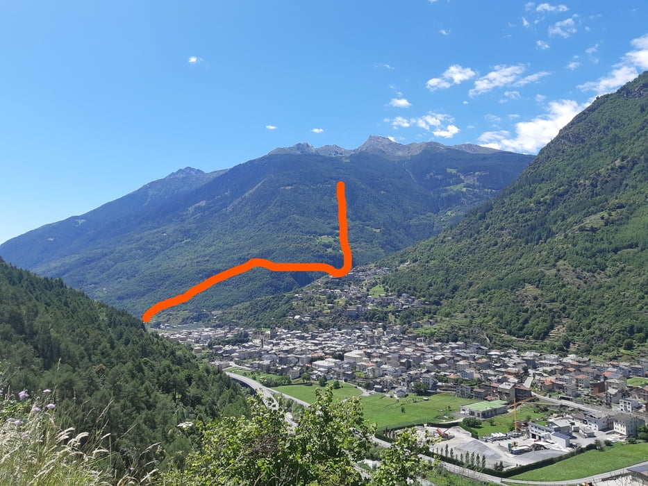
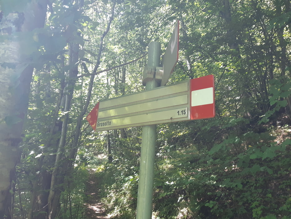
Wir starten im Albergo Drosde in Grosio und fahren etwa 1 km bis nach Grosotto. Auf Asphalt die etwas mehr als 1000 hm, wobei steile Rampen mit flachen Passagen abwechseln. Das erste Trailstück weitegehend flach im Wald, bis eine Passage mit 52 Kehren durch steilen Wald führt. Der Weg ist durchgehend befahrbar, da er in der Vergangenheit mit Natursteinmauern befestigt war (S1). Nach der Querung unserer Auffahrtstraße führt der Trail in einen Graben (S1) und zuletzt steil nach Grosotto (S2). Eine super Tour mit wenig Aufwand.
Erlebnis:
Die Straße ist wegen Baumfällarbeiten gesperrt. Da wir keine Alternative kennen, tasten wir uns vorsichtig zu den Waldarbeitern weiter. Als diese uns sehen, kein schreien und drohen wie in Österreich oder im bayerischen Oberland. Sie grüßen nett, unterbrechen ihre Arbeit und heben uns sogar das Zugseil hoch, damit wir durchfahren können. Wir sind mehr als psoitiv überrascht und wissen wieder, warum wir lieber in Italien und der Schweiz biken.
Tour gallery
Tour map and elevation profile
Comments

GPS tracks
Trackpoints-
GPX / Garmin Map Source (gpx) download
-
TCX / Garmin Training Center® (tcx) download
-
CRS / Garmin Training Center® (crs) download
-
Google Earth (kml) download
-
G7ToWin (g7t) download
-
TTQV (trk) download
-
Overlay (ovl) download
-
Fugawi (txt) download
-
Kompass (DAV) Track (tk) download
-
Track data sheet (pdf) download
-
Original file of the author (gpx) download


