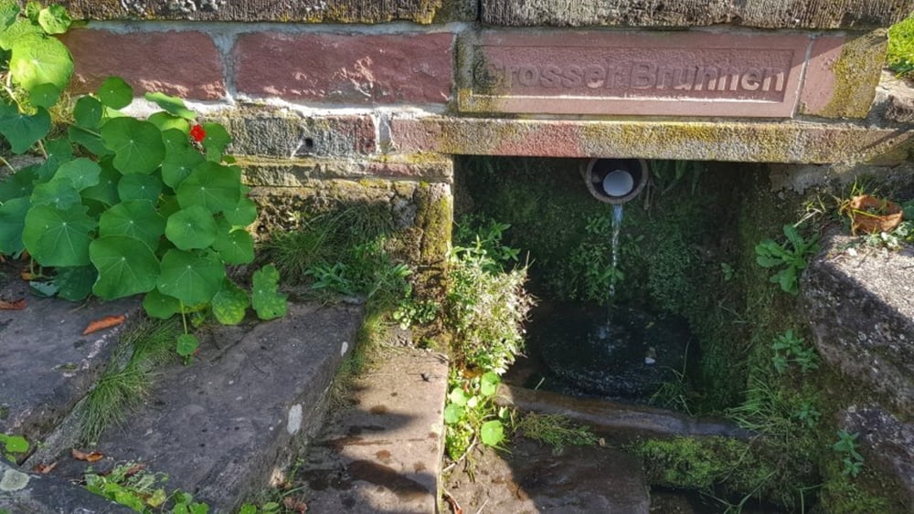
Heute wollten wir mal wieder nach Weiten-Gesäß. Dort waren wir schon lange nicht mehr. An der Kneipp-Anlage haben wir dann sogar noch eine uns bis dahin unbekannte Quelle gefunden. Weiter ging es dann durch den Mühlgrund zum Spindlers Brunnen und weiter vorbei am Waldschwimmbach Michelstadt auf den Mümlingtalradweg und wieder nach Höchst. #noebike
Tour gallery
Tour map and elevation profile
Minimum height 158 m
Maximum height 455 m
Comments

GPS tracks
Trackpoints-
GPX / Garmin Map Source (gpx) download
-
TCX / Garmin Training Center® (tcx) download
-
CRS / Garmin Training Center® (crs) download
-
Google Earth (kml) download
-
G7ToWin (g7t) download
-
TTQV (trk) download
-
Overlay (ovl) download
-
Fugawi (txt) download
-
Kompass (DAV) Track (tk) download
-
Track data sheet (pdf) download
-
Original file of the author (gpx) download
Add to my favorites
Remove from my favorites
Edit tags
Open track
My score
Rate


