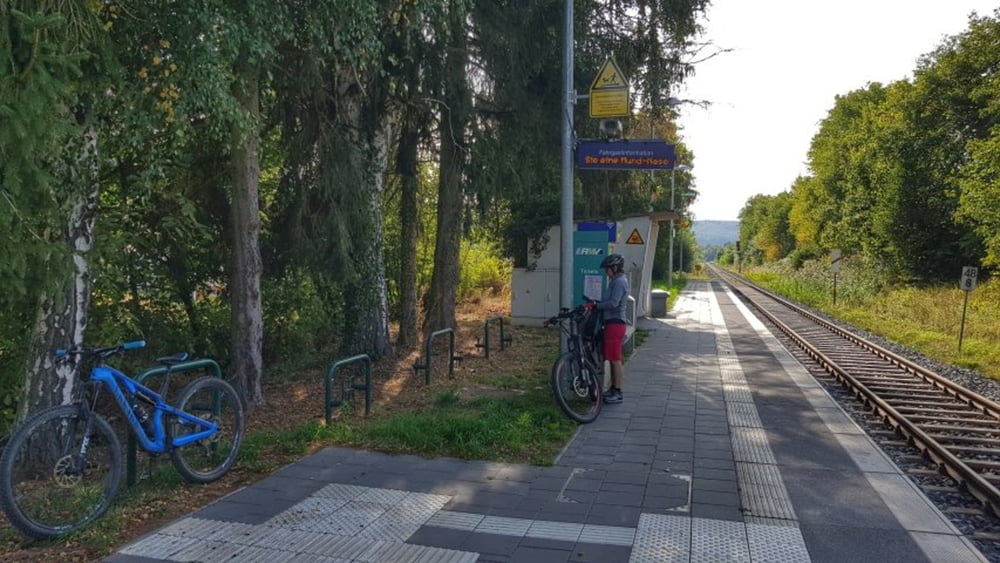
Da wir gestern erst über den Mümlingtalradweg gefahren sind, haben wir uns heute für die Odenwaldbahn entschieden um nach Hetzbach bzw. zum Himbächel-Viadukt zu gelangen. Von hier geht es nämlich über die Hohe Straße zurück nach Hetschbach. Die Hohe Straße ist sehr einfach zu befahren, keine technischen Schwierigkeiten sondern nur treten und Ausblicke in den Odenwald bzw. Spessart und sogar bis rüber in den Taunus mit Frankfurtskyline. #noebike
Tour gallery
Tour map and elevation profile
Minimum height 167 m
Maximum height 453 m
Comments

GPS tracks
Trackpoints-
GPX / Garmin Map Source (gpx) download
-
TCX / Garmin Training Center® (tcx) download
-
CRS / Garmin Training Center® (crs) download
-
Google Earth (kml) download
-
G7ToWin (g7t) download
-
TTQV (trk) download
-
Overlay (ovl) download
-
Fugawi (txt) download
-
Kompass (DAV) Track (tk) download
-
Track data sheet (pdf) download
-
Original file of the author (gpx) download
Add to my favorites
Remove from my favorites
Edit tags
Open track
My score
Rate


