Ausgangspunkt Campingplatz Lienzer Dolomiten.
Auf Radweg bis fast nach Lienz ständig bergab.
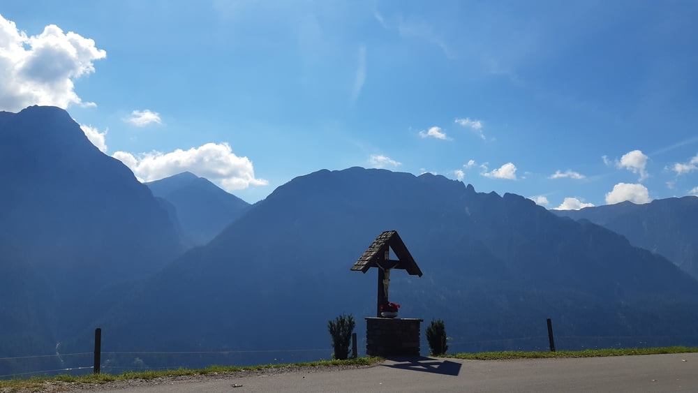
Auffahrt zur Pustertaler Höhenstraße. Anfangs sehr breites Asphaltband wird aber ab erreichen der Höhe durch schöne Ausblicke belohnt. Die Straße wird auch enger.
Tour gallery
Tour map and elevation profile
Minimum height 720 m
Maximum height 1424 m
Comments

GPS tracks
Trackpoints-
GPX / Garmin Map Source (gpx) download
-
TCX / Garmin Training Center® (tcx) download
-
CRS / Garmin Training Center® (crs) download
-
Google Earth (kml) download
-
G7ToWin (g7t) download
-
TTQV (trk) download
-
Overlay (ovl) download
-
Fugawi (txt) download
-
Kompass (DAV) Track (tk) download
-
Track data sheet (pdf) download
-
Original file of the author (gpx) download
Add to my favorites
Remove from my favorites
Edit tags
Open track
My score
Rate


