
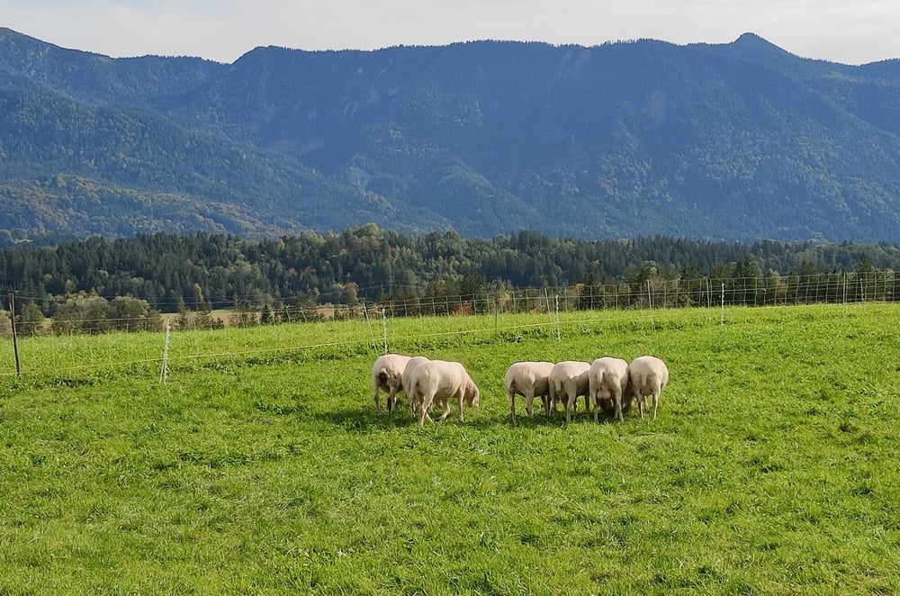

Die Tour beginnt bei Seeshaupt und führt abwechslungsreich durch die Osterseen zum Staffelsee. Herrliche Ausblicke in die Berge begleiten die Fahrt. Dann gehts über s Murnauer Moor zurück über die hügelige Voralpenlandschaft an den Starnbergersee. Man glaubt gar nicht wie ausgeräumt und idylisch Oberbayern neben den touristischen Hochburgen sein kann. Wers nicht lassen kann, mag als Kontrastprogramm einen Schwenk in den Touristen-Hot-Spot Murnau machen.
Tour map and elevation profile
Minimum height 588 m
Maximum height 724 m
More about the tour author

|
SeppKW |
Comments

GPS tracks
Trackpoints-
GPX / Garmin Map Source (gpx) download
-
TCX / Garmin Training Center® (tcx) download
-
CRS / Garmin Training Center® (crs) download
-
Google Earth (kml) download
-
G7ToWin (g7t) download
-
TTQV (trk) download
-
Overlay (ovl) download
-
Fugawi (txt) download
-
Kompass (DAV) Track (tk) download
-
Track data sheet (pdf) download
-
Original file of the author (gpx) download
More about the tour author
|
|
SeppKW |
Add to my favorites
Remove from my favorites
Edit tags
Open track
My score
Rate