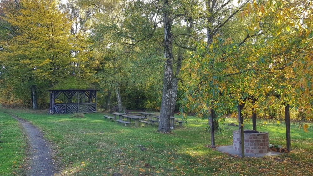
Heute mal wieder mit dem E-Bike unterwegs durch den herbstlichen Odenwald. Über den Namenlosen Berg zur Mönchshöhe. Dann ein kurzer Abstecher über den Kinziger Berg und dann hoch zum Hardtberg. Nun eine schöne lange Abfahrt nach Höchst hinunter und wieder Heim.
Tour gallery
Tour map and elevation profile
Minimum height 156 m
Maximum height 329 m
Comments

GPS tracks
Trackpoints-
GPX / Garmin Map Source (gpx) download
-
TCX / Garmin Training Center® (tcx) download
-
CRS / Garmin Training Center® (crs) download
-
Google Earth (kml) download
-
G7ToWin (g7t) download
-
TTQV (trk) download
-
Overlay (ovl) download
-
Fugawi (txt) download
-
Kompass (DAV) Track (tk) download
-
Track data sheet (pdf) download
-
Original file of the author (gpx) download
Add to my favorites
Remove from my favorites
Edit tags
Open track
My score
Rate


