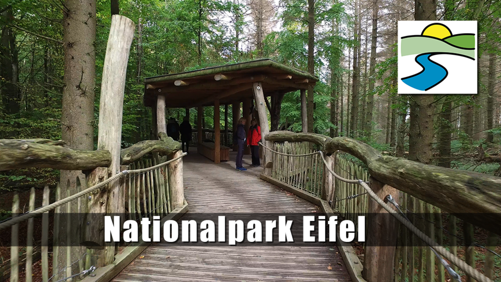
Durch einen hohen Buchenwald gehen wir zunächst Richtung Schwammenauel und gelangen zum Wilden Kermeter. Auf breitem Forstweg geht es weiter bis zur Hütte Paulushof, hier biegen wir zur Hirschley ab. Passieren diese und gelangen wieder auf die breite Forststraße. Auf gleichem Wege geht es zurück, bis es an einer Gabelung zur Abtei Mariawald geleitet werden und von dort zum Ausgangspunkt.
Tour gallery
Tour map and elevation profile
Minimum height 99999 m
Maximum height -99999 m
Comments

GPS tracks
Trackpoints-
GPX / Garmin Map Source (gpx) download
-
TCX / Garmin Training Center® (tcx) download
-
CRS / Garmin Training Center® (crs) download
-
Google Earth (kml) download
-
G7ToWin (g7t) download
-
TTQV (trk) download
-
Overlay (ovl) download
-
Fugawi (txt) download
-
Kompass (DAV) Track (tk) download
-
Track data sheet (pdf) download
-
Original file of the author (gpx) download
Add to my favorites
Remove from my favorites
Edit tags
Open track
My score
Rate


