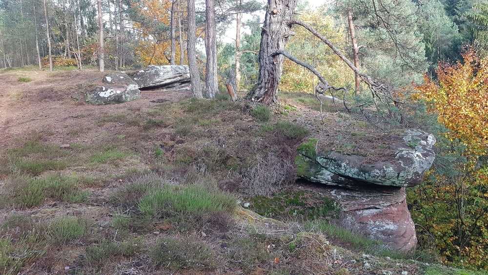
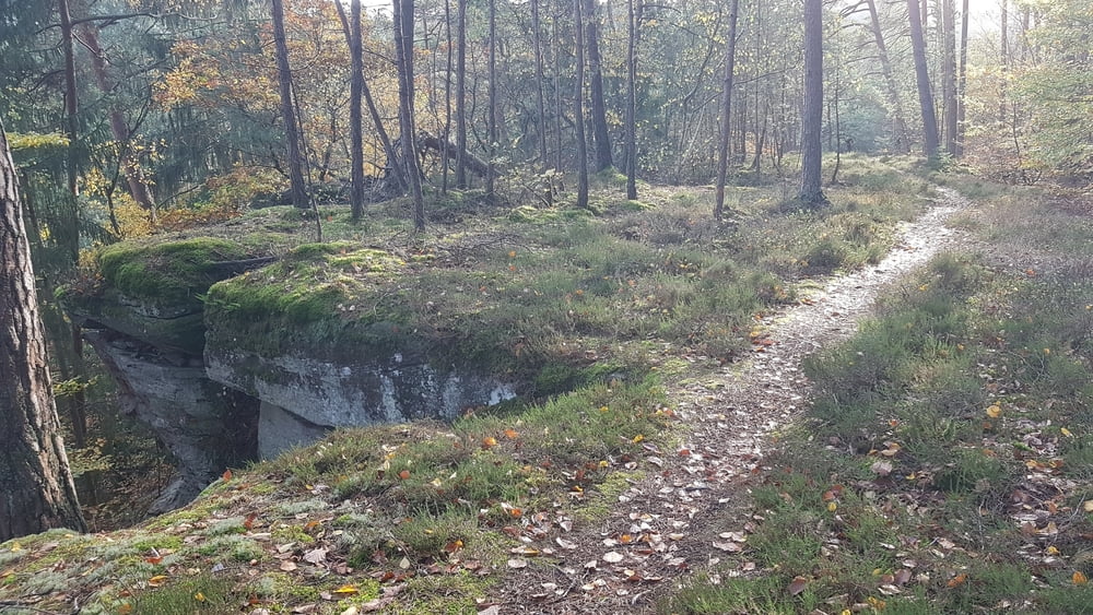
Die Burg Ramstein ist immer einen Ausflug wert. Da man dort so schön unter Bäumen sitzen kann, ist es ein idealer Ort zur Schlussrast und die Umgebung ist zum Wandern sehr reizvoll.
Wenn man nicht zur Klasenhöhle hochklettern will, oder einen Abstecker zur Geiersley machen will, hat man zwar keine Höhepunkte, aber es gibt immer wieder schöne Ausblicke auf roten Sandstein und ins Kylltal.
Tour gallery
Tour map and elevation profile
Comments

Start der Wanderung ist der Parkplatz vor dem Hotel Burg Ramstein (N49 49.417 E6 38.614), von Kordel entlang am Ende der K28 ( Straße ist recht schmal ).
Bei starken Andrang steht am Fusse des Burgberges für sportliche Leute auch noch der Wanderparkplatz ins Butzerbachtal zur Verfügung (N49 49.492 E6 38.732).
Man kann die Wanderung auch zu einer 12 km langen Tour " Dicke Buche - Kutlei" verbinden ( sh. Tour #175425 ) und dann am Parkplatz "Dicke Buche" an der B52 (N49 47.968 E6 39.339) zwischen Trier Ehrang und dem Autobahnkreuz Trier/Luxemburg starten.
GPS tracks
Trackpoints-
GPX / Garmin Map Source (gpx) download
-
TCX / Garmin Training Center® (tcx) download
-
CRS / Garmin Training Center® (crs) download
-
Google Earth (kml) download
-
G7ToWin (g7t) download
-
TTQV (trk) download
-
Overlay (ovl) download
-
Fugawi (txt) download
-
Kompass (DAV) Track (tk) download
-
Track data sheet (pdf) download
-
Original file of the author (gpx) download


