Login

Forgotten password?

Cookies have to be accepted!
Your browser's cookie functionality is disabled. Please enable this functionality.

Not a member yet?

Register now
Login

Available for registred users only

Log in to use this feature.

Forgotten password?

Cookies have to be accepted!
Your browser's cookie functionality is disabled. Please enable this functionality.

Not a member yet?

Register now
Filter
Categories
Advanced filters
  • Distance (km)
  • Height
Save filters Reset filter

TrackRank

QRCode

Technical data

Distance45,9 km Height769 m Way down768 m Duration03:40 h:m Date24.05.2021
Scores Author Landscape Fun factor Fitness Technique

Statistics

305 Views Scores 39 Downloads Average
Rate
  • Track data sheet
  • Directions
  • Downloads

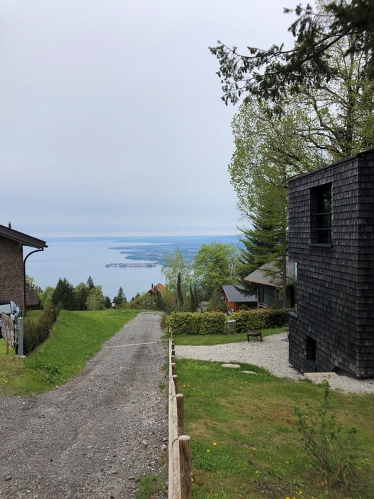
Immer am Seeufer entlang bis zur Seebühne Bregenz. Dort über die Brücke zur Straße und dann bald links bergauf und dann in den Wald.

Ich bin die Runde "gegen den Uhrzeigersinn" gefahren, d.h. bergauf auf Forststraßen und kleinen Teerstraßen und bergab dann auf der Pfänderstraße.

Das hat folgende Vorteile: man kann länger die Einsamkeit genießen, man hat auf der Auffahrt keinen störenden Autoverkehr und man ist schnell und bequem wieder zuhause.

Es gibt ein paar 17% Auffahrten aber mindestens zur Hälfte auf Teer und gut machbar.

Achtung: Mein Track beginnt in Lindau/Aeschach weil wir da gewohnt haben, aber Ihr könnt bequem an der Brücke zur Insel Lindau einsteigen.

Einschränkungen

This tour has a carry or push section on 0.1 kilometers

Tour map and elevation profile

  • Open Street Map
  • Google
Minimum height 397 m Maximum height 1051 m Detailed view

More about the tour author

sr2
Member since 2020

Send private message

Comments

Einschränkungen

This tour has a carry or push section on 0.1 kilometers

GPS tracks

Trackpoints
  • GPX / Garmin Map Source (gpx) download
  • TCX / Garmin Training Center® (tcx) download
  • CRS / Garmin Training Center® (crs) download
  • Google Earth (kml) download
  • G7ToWin (g7t) download
  • TTQV (trk) download
  • Overlay (ovl) download
  • Fugawi (txt) download
  • Kompass (DAV) Track (tk) download
  • Track data sheet (pdf) download
  • Original file of the author (gpx) download

More about the tour author

sr2
Member since 2020

Send private message
Share track
Add to my favorites
Remove from my favorites
Edit tags
My score
Rate
Track: von Lindau auf den Pfänder
Type: Mountain bike
Distance: 45,9 km
Evaluated on:
Duration:
Day(s)
Hour(s)
Minute(s)
Score: Landscape Fun factor Fitness Technique