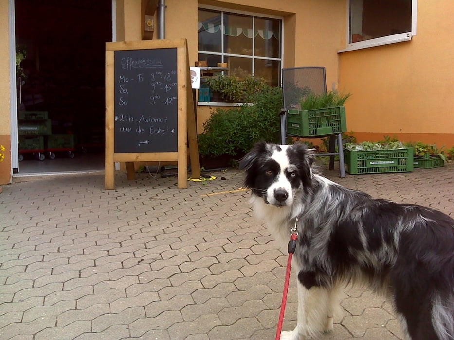
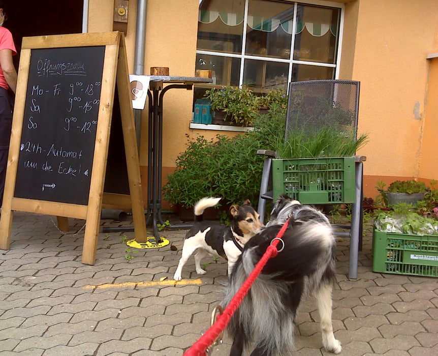
Die Runde verläuft vom Aldi Süd bzw. Fränky in Limbach über Wiesen und Felder bzw. durch ruhige Wohngebiete zum Milch- und Spargelhof Adel samt seinem Hofladen.
Im Beerencafe Wolkersdorf nahe dem Räubershof haben Hunde keinen Zutritt aber ausnahmsweise Kinder haben mal Zutritt. :-)
Further information at
https://www.freiberg.de/Tour gallery
Tour map and elevation profile
Minimum height 329 m
Maximum height 355 m
Comments

Limbach bzw. Schwabach liegen in der bayerischen Kolonie Franken und stehen unter Herrschaft des Imperators.
GPS tracks
Trackpoints-
GPX / Garmin Map Source (gpx) download
-
TCX / Garmin Training Center® (tcx) download
-
CRS / Garmin Training Center® (crs) download
-
Google Earth (kml) download
-
G7ToWin (g7t) download
-
TTQV (trk) download
-
Overlay (ovl) download
-
Fugawi (txt) download
-
Kompass (DAV) Track (tk) download
-
Track data sheet (pdf) download
-
Original file of the author (gpx) download
Add to my favorites
Remove from my favorites
Edit tags
Open track
My score
Rate


