


Wanderung: Mutzbach und Dünnwaldseen
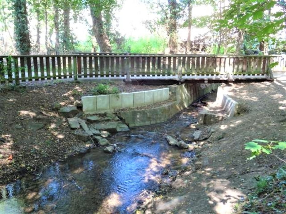
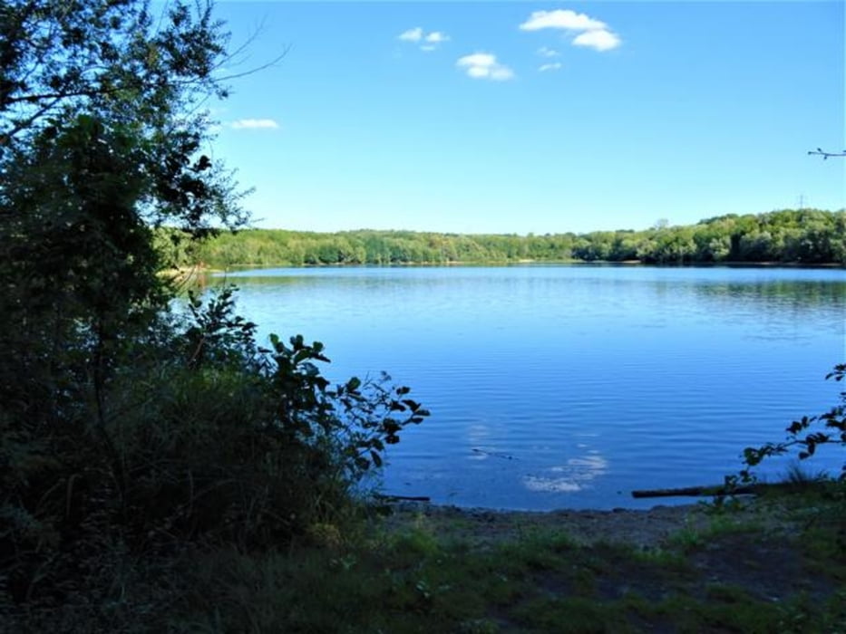
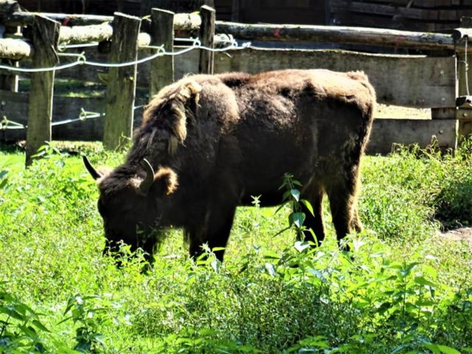
Zu dieser Wanderung gehört am Anfang eine Wegstrecke entlang des tapferen Mutzbachs in einem kleinen Park. Es folgt ein Vorbeigang am Dünnwalder Wildpark und dann ein Abschnitt entlang des Gänseweihers, eine Umrundung des Höhenfelder Sees und zum Schluss eine Wanderstrecke im Naturschutzgebiet Thielenbruch und Thurner Wald sowie durch die Landschaft des Bruchs. Wasser und Wald sind die Begleiter dieser Wanderroute.
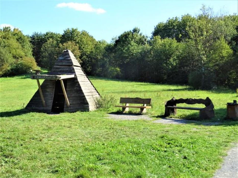
Die Wanderroute ist geschichtlich aufgeladen: Walkmühle, Waldbad als Schöpfung des Dünnwalder Ortskartells, Schießbahnen, Diepeschrather Mühle, Wagenhalle Thielenbruch (Straßenbahnmuseum).
Tour gallery
Tour map and elevation profile
Minimum height 42 m
Maximum height 84 m
More about the tour author

|
nc-drbefranetcologne |
Comments

Start: Hst. Odenthaler Str. von KVB-Linie 4 und Bus 260
Ziel: Hst. Thielenbruch von KVB-Linien 3, 18
GPS tracks
Trackpoints-
GPX / Garmin Map Source (gpx) download
-
TCX / Garmin Training Center® (tcx) download
-
CRS / Garmin Training Center® (crs) download
-
Google Earth (kml) download
-
G7ToWin (g7t) download
-
TTQV (trk) download
-
Overlay (ovl) download
-
Fugawi (txt) download
-
Kompass (DAV) Track (tk) download
-
Track data sheet (pdf) download
-
Original file of the author (gpx) download
More about the tour author
|
|
nc-drbefranetcologne |
Add to my favorites
Remove from my favorites
Edit tags
Open track
My score
Rate