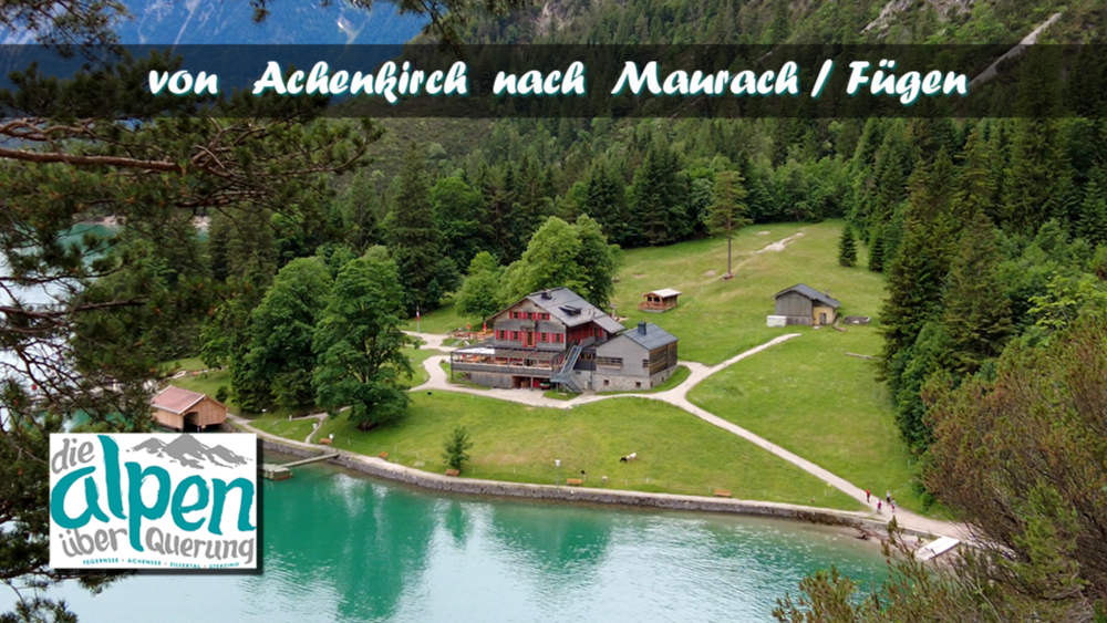
Die Strecke Heute, verspricht laut Tour Beschreibung, Entspannung pur. Die Wanderung verläuft auf der Westseite des Achensees und es sind nur wenige Höhenmeter zu bewältigen. Einmal den Einstieg am See entlang gefunden ist eine Verlaufen bis Pertisau nicht mehr möglich. Wir passieren die Gaisalm und folgen dem Wanderweg weiter etwas oberhalb vom See nach Pertisau. Von dort sind es nur noch 4,5 km bis nach Maubach zur Bushaltestelle.
Tour gallery
Tour map and elevation profile
Minimum height 923 m
Maximum height 987 m
Comments

GPS tracks
Trackpoints-
GPX / Garmin Map Source (gpx) download
-
TCX / Garmin Training Center® (tcx) download
-
CRS / Garmin Training Center® (crs) download
-
Google Earth (kml) download
-
G7ToWin (g7t) download
-
TTQV (trk) download
-
Overlay (ovl) download
-
Fugawi (txt) download
-
Kompass (DAV) Track (tk) download
-
Track data sheet (pdf) download
-
Original file of the author (gpx) download
Add to my favorites
Remove from my favorites
Edit tags
Open track
My score
Rate


