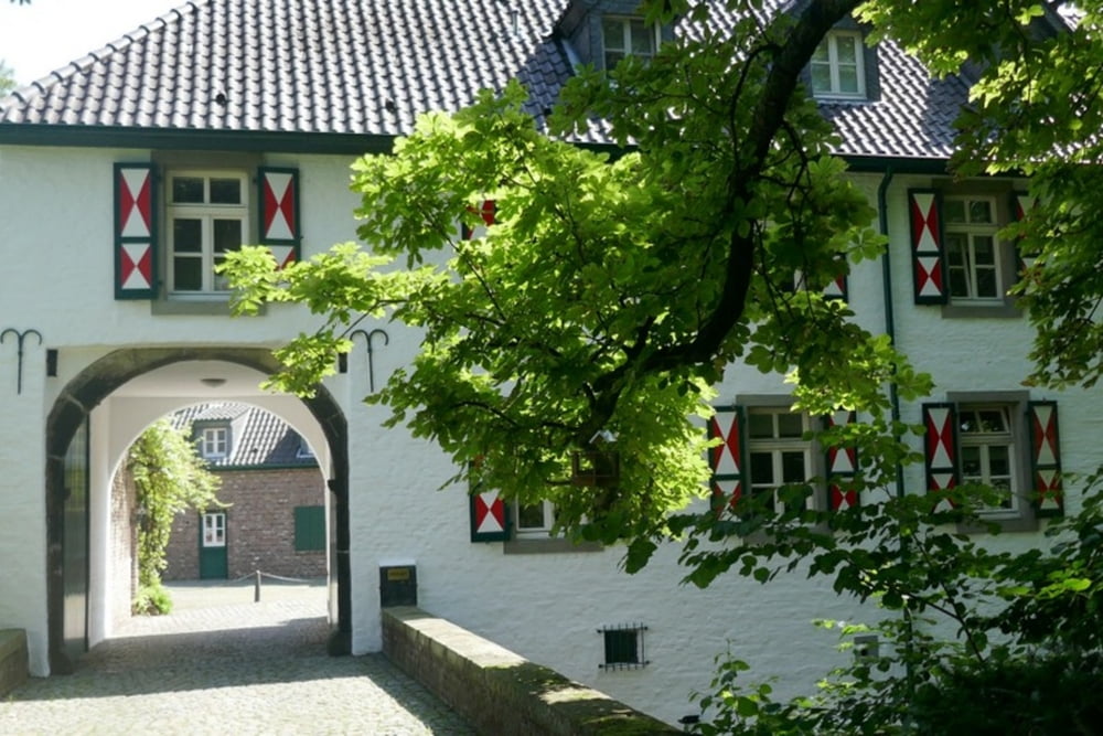
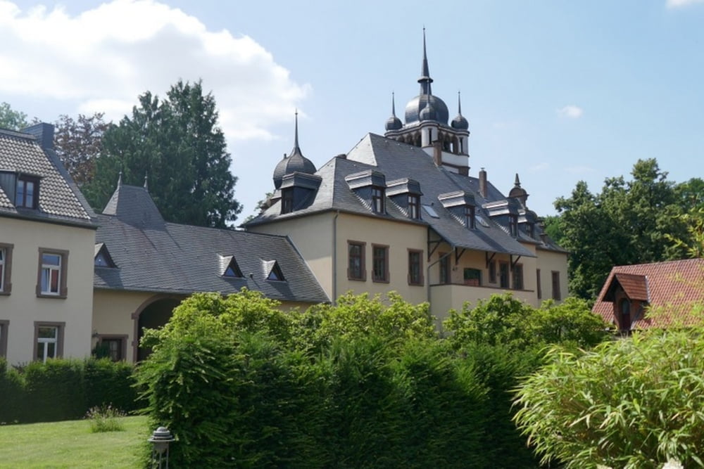
Von der Straßenbahnhaltestelle "Vischeringstraße" in Köln-Holweide wandern wir vorbei an der Isenburg zum Gut Mielenforst und zum alten Restaurant (seit 1665) "Em Alhle Kohberg" in Köln Merheim und zur Straßenbahnhaltestelle "Kalker Friedhof"
Tour gallery
Tour map and elevation profile
Minimum height -11 m
Maximum height 68 m
Comments

siehe oben
GPS tracks
Trackpoints-
GPX / Garmin Map Source (gpx) download
-
TCX / Garmin Training Center® (tcx) download
-
CRS / Garmin Training Center® (crs) download
-
Google Earth (kml) download
-
G7ToWin (g7t) download
-
TTQV (trk) download
-
Overlay (ovl) download
-
Fugawi (txt) download
-
Kompass (DAV) Track (tk) download
-
Track data sheet (pdf) download
-
Original file of the author (gpx) download
Add to my favorites
Remove from my favorites
Edit tags
Open track
My score
Rate


