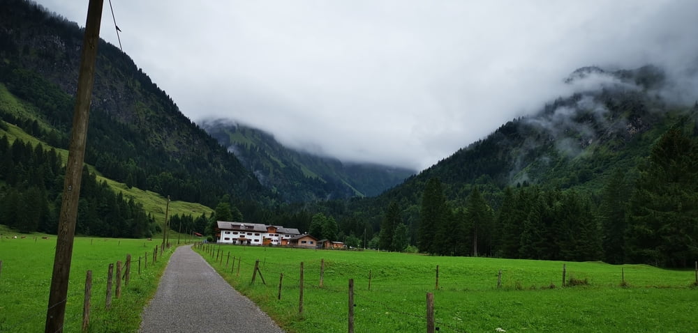
Vom Parkplatz der Fellhornbahn geht es ca 5km richtung Einödsbach--kann auch mit dem Bus gefahren werden.
Hier geht es am Berggasthof vorbei am Bacherlochbach entlang, stetig steiler weiter.
bei mehreren Wasserfall- und Bachübergängen wird der Weg schmal und steil, jedoch schön und voller Vegetation.
vorbei an Altschneerückständen im August!!! gehts kräftig hoch ans wunderschöne Waltenbergerhaus zur übernachtung auf 2085 Meter!
Tour gallery
Tour map and elevation profile
Minimum height 904 m
Maximum height 2080 m
Comments

GPS tracks
Trackpoints-
GPX / Garmin Map Source (gpx) download
-
TCX / Garmin Training Center® (tcx) download
-
CRS / Garmin Training Center® (crs) download
-
Google Earth (kml) download
-
G7ToWin (g7t) download
-
TTQV (trk) download
-
Overlay (ovl) download
-
Fugawi (txt) download
-
Kompass (DAV) Track (tk) download
-
Track data sheet (pdf) download
-
Original file of the author (gpx) download
Add to my favorites
Remove from my favorites
Edit tags
Open track
My score
Rate


