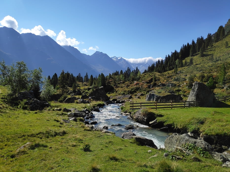
Von der Bushaltestelle "Falbeson" (wer mit dem Auto kommt, kann auf dem Parkplatz neben dem Waldcafé parken) auf dem Steig über die Ochsenalm zur Neuen Regensburger Hütte. Dort auf dem Höhenring (nicht zu verwechseln mit dem Stubaier Höhenweg) zunächst immer am Hang entlang Richtung Milderaun Alm. Wird sind eigentlich immer zügig unterwegs, aber die dort ausgeschriebenen 2,5h bis zur Milderaun Alm sind bestenfalls für Trailläufer erreichbar. Wir haben eher gute 3h gebraucht. Der Weg zieht sich, auch wenn bzw. obwohl das Panorama grandios ist. Von der Milderaun Alm geht es auf einem Steig hinab nach Krößbach (und für uns weiter zu unserer gewohnten Unterkunft, dem Gästeheim Ribis in Neugasteig).
Tour gallery
Tour map and elevation profile
Minimum height 1050 m
Maximum height 2328 m
Comments

Mit dem Bus oder dem Auto zum Waldcafé in Falbeson.
GPS tracks
Trackpoints-
GPX / Garmin Map Source (gpx) download
-
TCX / Garmin Training Center® (tcx) download
-
CRS / Garmin Training Center® (crs) download
-
Google Earth (kml) download
-
G7ToWin (g7t) download
-
TTQV (trk) download
-
Overlay (ovl) download
-
Fugawi (txt) download
-
Kompass (DAV) Track (tk) download
-
Track data sheet (pdf) download
-
Original file of the author (gpx) download
Add to my favorites
Remove from my favorites
Edit tags
Open track
My score
Rate


