Login

Forgotten password?

Cookies have to be accepted!
Your browser's cookie functionality is disabled. Please enable this functionality.

Not a member yet?

Register now
Login

Available for registred users only

Log in to use this feature.

Forgotten password?

Cookies have to be accepted!
Your browser's cookie functionality is disabled. Please enable this functionality.

Not a member yet?

Register now
Filter
Categories
Advanced filters
  • Distance (km)
  • Height
Save filters Reset filter

TrackRank

QRCode

Technical data

Distance32,4 km Height528 m Way down511 m Duration02:00 h:m Date29.06.2008
Scores Author User Landscape Fun factor Fitness Technique

Statistics

1230 Views 8 Scores 275 Downloads 3.88 Average
Rate
  • Track data sheet
  • Directions
  • Downloads
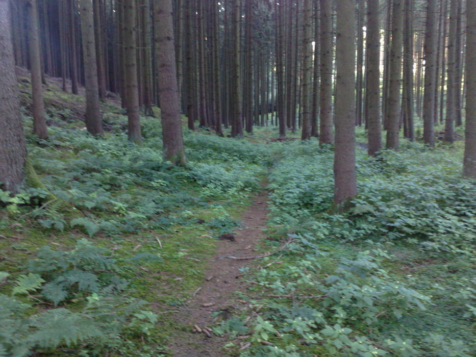
Als Übungsrunde so angelegt in unseren Breitengraden halbwegs Höhenmeter zusammenzubekommen. Vom Untergrund alles dabei, Asphalt, Waldautobahnen und vereinzelt Trails. Landschaftlich ist viel Abwechslung geboten. Versuche diese Tour noch bis Oberberghausen und Hohenbachern auszubauen, dann müssten die Höhenmeter auch die 500m Grenze übersteigen. Tour ist jetzt mit neuer gpx über Oberberghausen genau auf 500hm.

Tour gallery

Tour map and elevation profile

  • Open Street Map
  • Google
Minimum height 440 m Maximum height 513 m Detailed view

More about the tour author

micfet
Member since 2008

Send private message

Comments

brot on 18.04.2009

sehr schöne Tour, vielen Dank

Danke fürs Lob. Habe gerade eine ähnlich schöne Tour reingestellt
http://www.gps-tour.info/de/touren/detail.32720.html

Gruß
Michael
Stefan_Lochner on 06.11.2010

Tourkommentar

Mit "Einrollen" von Hallberg aus ist das eine ideale Trainingstour. Mein 15-jähriger Sohn fands einfach nur geil. Ich kann mich nur anschließen ... Die Tour werden wir sicher öfter fahren. Vielen Dank.
Gestartet wurde in Massenhausen

GPS tracks

Trackpoints
  • GPX / Garmin Map Source (gpx) download
  • TCX / Garmin Training Center® (tcx) download
  • CRS / Garmin Training Center® (crs) download
  • Google Earth (kml) download
  • G7ToWin (g7t) download
  • TTQV (trk) download
  • Overlay (ovl) download
  • Fugawi (txt) download
  • Kompass (DAV) Track (tk) download
  • Track data sheet (pdf) download
  • Original file of the author (gpx) download

More about the tour author

micfet
Member since 2008

Send private message
Share track
Add to my favorites
Remove from my favorites
Edit tags
My score
Rate
Track: Kleine Runde von Massenhausen bis Oberberghausen
Type: Mountain bike
Distance: 32,4 km
Evaluated on:
Duration:
Day(s)
Hour(s)
Minute(s)
Score: Landscape Fun factor Fitness Technique