Login

Forgotten password?

Cookies have to be accepted!
Your browser's cookie functionality is disabled. Please enable this functionality.

Not a member yet?

Register now
Login

Available for registred users only

Log in to use this feature.

Forgotten password?

Cookies have to be accepted!
Your browser's cookie functionality is disabled. Please enable this functionality.

Not a member yet?

Register now
Filter
Categories
Advanced filters
  • Distance (km)
  • Height
Save filters Reset filter

TrackRank

QRCode

Technical data

Distance387,0 km Height12646 m Way down12648 m Duration17:10 h:m Date30.06.2008
Scores Author Landscape Fun factor Fitness Technique

Statistics

3467 Views 5 Scores 632 Downloads 3.60 Average
Rate
  • Track data sheet
  • Directions
  • Downloads

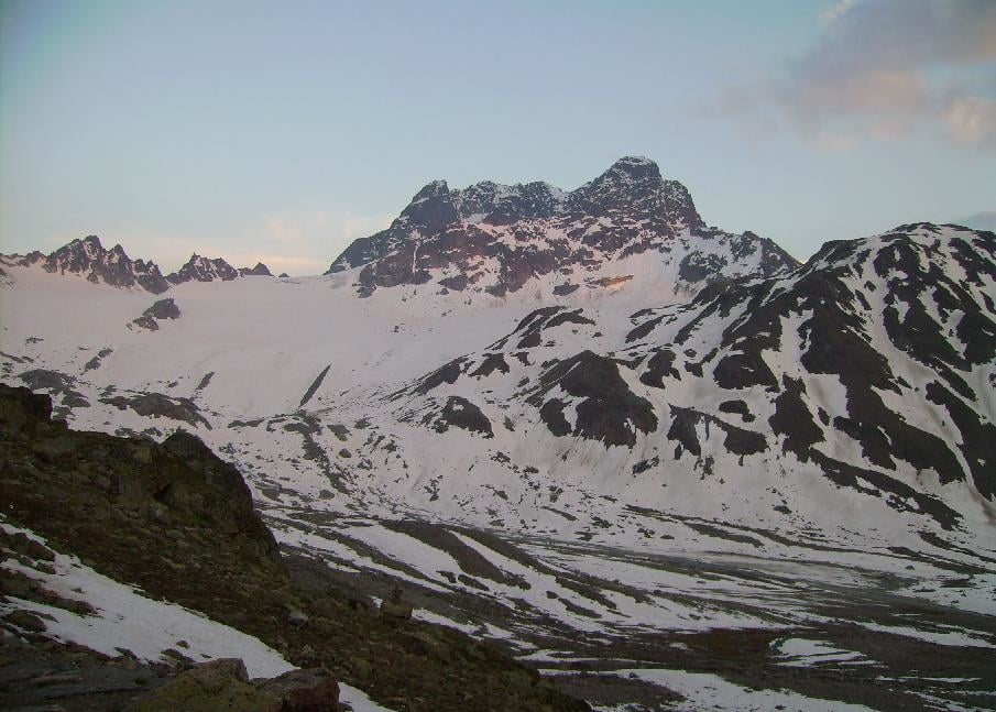
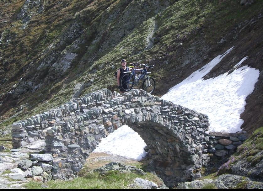
Die Tour folgt im Wesentlichen der "Top of Graubünden"

Änderungen am Tag 1, 2, 3 und 7. Teilweise sind wir schöne Trails gefahren, teilweise haben wir wegen Schnee umgeplant.

Hier die Daten der einzelnen Tage:

1. Tag: Chur - Savognin 2235 hm, 62 km

2. Tag Savognin  - Maloja 2000 hm, 44 km (mit längerem trage/schiebe Stück)

3. Tag Maloja - St. Maria 1895 hm, 91 km

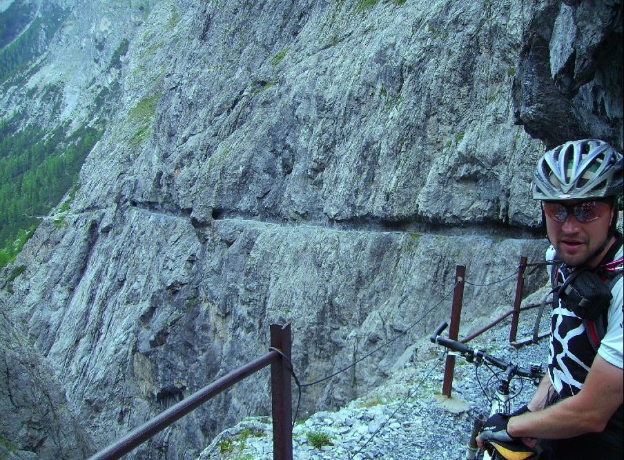
4. Tag St. Maria - Scuol 1512 hm, 47 km (Uina Schlucht)

5. Tag Scuol - Kesch Hütte 2012 hm, 55 km (200 hm Schnee getragen)

6. Tag Kesch Hütte - Arosa 2000 hm, 67 km

7. Tag Arosa - Chur 1044 hm, 34 km (toller downhill, bei uns lag leider viel Schnee)


Further information at

http://www.bike-explorer.ch

Tour gallery

Tour map and elevation profile

  • Open Street Map
  • Google
Minimum height 573 m Maximum height 2642 m Detailed view

More about the tour author

wige
Member since 2006

Send private message

Comments

Renegade1978 on 06.08.2011

Eindrücke

Wir sind der Tour vom Routenverlauf leicht genau so gefolgt (inkl Davos und Arosa). Da wir nicht ganz so fit waren, haben wir andere Rastetappen gewählt.
Wir haben im Inntal zwischen Soul und S-Chanf mit dem Zug abgekürzt. In Arosa sind wir mit der Hörnli-Bahn auf den Berg, für Übernachtungsgäste ist das kostenfrei (im jeweiligen Hotel erkundigen)! Den Arosa MTB-Trail könnt ihr euch schenken.

In der ersten Augustwoche 2011 war alles schneefrei.

Viele Grüße
Mit dem Zug nach Chur (in der Schweiz).

GPS tracks

Trackpoints
  • GPX / Garmin Map Source (gpx) download
  • TCX / Garmin Training Center® (tcx) download
  • CRS / Garmin Training Center® (crs) download
  • Google Earth (kml) download
  • G7ToWin (g7t) download
  • TTQV (trk) download
  • Overlay (ovl) download
  • Fugawi (txt) download
  • Kompass (DAV) Track (tk) download
  • Track data sheet (pdf) download
  • Original file of the author (gpx) download

More about the tour author

wige
Member since 2006

Send private message
Share track
Add to my favorites
Remove from my favorites
Edit tags
My score
Rate
Track: Top of Graubünden 2008
Type: Transalp
Distance: 387,0 km
Evaluated on:
Duration:
Day(s)
Hour(s)
Minute(s)
Score: Landscape Fun factor Fitness Technique