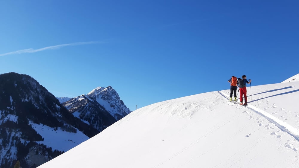
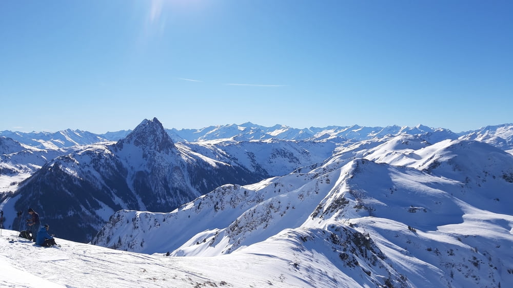
Herrliche Tour bei guten Neuschneebedingungen. Vorm Gipfel gibt es einen kleinen Gegenanstieg. Leider sind wir ein bisschen zu spät abgefahren, sodass der Schnee gepappt hat. Abgesehen davon eine wunderbare Tour. Am Ende sind wir noch gut in der Oberlandhütte eingekehrt.
Tour gallery
Tour map and elevation profile
Minimum height 1014 m
Maximum height 2041 m
Comments

Start auf einem ausgeschobenen Parkplatz bald nach der Oberlandhütte.
GPS tracks
Trackpoints-
GPX / Garmin Map Source (gpx) download
-
TCX / Garmin Training Center® (tcx) download
-
CRS / Garmin Training Center® (crs) download
-
Google Earth (kml) download
-
G7ToWin (g7t) download
-
TTQV (trk) download
-
Overlay (ovl) download
-
Fugawi (txt) download
-
Kompass (DAV) Track (tk) download
-
Track data sheet (pdf) download
-
Original file of the author (gpx) download
Add to my favorites
Remove from my favorites
Edit tags
Open track
My score
Rate


