Diesr Tour führt vom Hauptbahnhof Neustadt zunächst auf das Weinbiet und dann weiter zur Burgruine Wolfsburg.
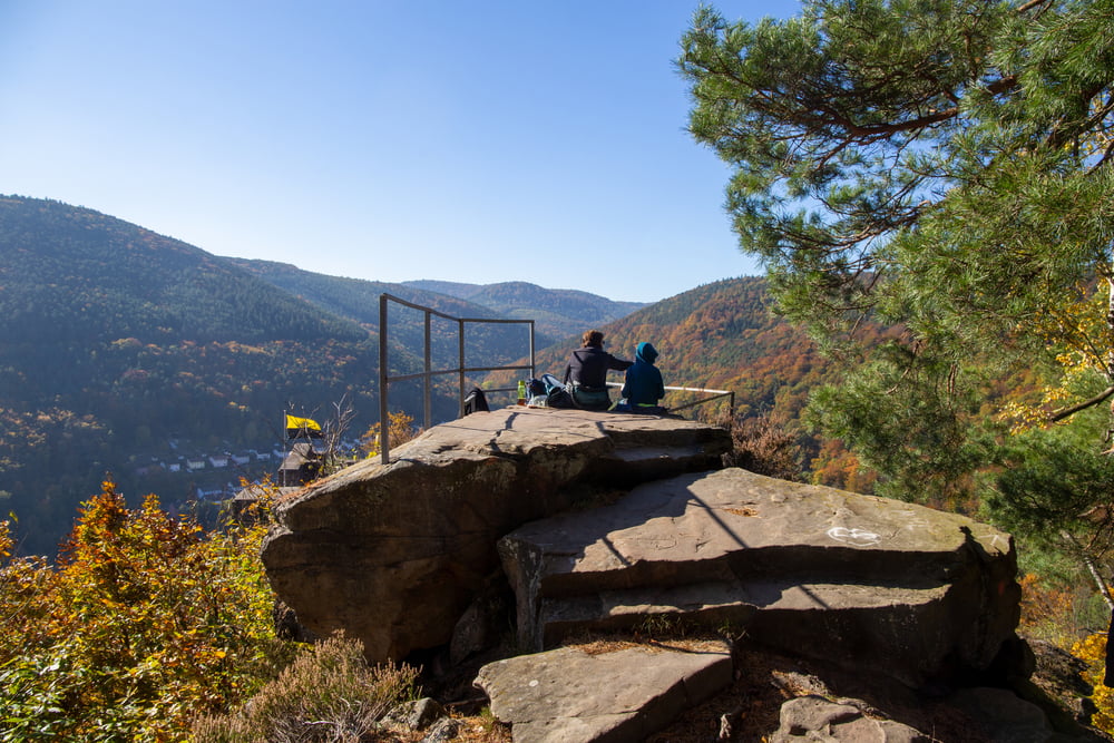
Der Weg oberhalb der Wolfsburg zählt für mich zu den schönsten im Pfälzerwald. Sonnige, felsige Aussichtsplateaus mit Blick auf die Rheinebene und den Pfälzerwald sorgen fast schon für südländisches Ambietente.
Die Wolfsburg lädt mit ihrem weitläufigem Innenhof zu einer ausgedehnten Pause ein.
Tour map and elevation profile
Minimum height 134 m
Maximum height 542 m
Comments

Ausgangspunkt: Hauptbahnhof Neustadt
GPS tracks
Trackpoints-
GPX / Garmin Map Source (gpx) download
-
TCX / Garmin Training Center® (tcx) download
-
CRS / Garmin Training Center® (crs) download
-
Google Earth (kml) download
-
G7ToWin (g7t) download
-
TTQV (trk) download
-
Overlay (ovl) download
-
Fugawi (txt) download
-
Kompass (DAV) Track (tk) download
-
Track data sheet (pdf) download
-
Original file of the author (gpx) download
Add to my favorites
Remove from my favorites
Edit tags
Open track
My score
Rate

