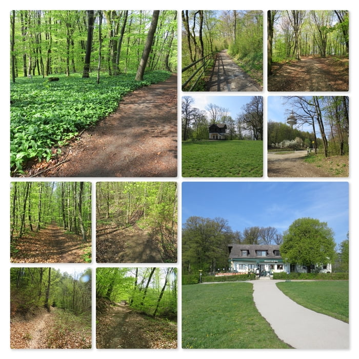
Meine Wanderung beginnt beim Gasthaus Häuserl am Roan. Ich gehe links am Gasthaus vorbei und folge dem sehr gut beschilderten Wanderweg Richtung Hameau (464 m).
Ich passiere die Hameau Wiese und das Haus und folge dann dem Wanderweg weiter bis ich zum großen Sendemast beim Exelberg komme.
Anschließend gehe ich auf dem Forstweg neben der Straße weiter Richtung Toiflhütte. Ein kurzes Stück muss ich auf der Straße gehen bis ich wieder auf die Forststraße einbiegen kann. Bald darauf komme ich zur Toiflhütte, die allerdings nur am Wochenende und an Feiertagen geöffnet hat.
Ich wandere weiter und umrunde den Simonsberg (423 m) und gehe dann weiter bis zur Sieveringer Straße.
Irgendwie verpasse ich den Wanderweg, vorbei am Dreimarkstein, hinauf zum Häuserl am Roan, daher folge ich einer Markierung der Forstarbeiter und komme so wieder an meinen Ausgangsort zurück.
Further information at
http://amroan.at/Tour map and elevation profile
Comments

Ich parke mein Auto am großen öffentlichen Parkplatz vor dem Gasthaus "Häuserl am Roan". Koordinaten: N48° 15' 29.4" E16° 17' 09.2".
Toiflhütte: Home (toiflhuette.at)
GPS tracks
Trackpoints-
GPX / Garmin Map Source (gpx) download
-
TCX / Garmin Training Center® (tcx) download
-
CRS / Garmin Training Center® (crs) download
-
Google Earth (kml) download
-
G7ToWin (g7t) download
-
TTQV (trk) download
-
Overlay (ovl) download
-
Fugawi (txt) download
-
Kompass (DAV) Track (tk) download
-
Track data sheet (pdf) download
-
Original file of the author (gpx) download

