Login

Forgotten password?

Cookies have to be accepted!
Your browser's cookie functionality is disabled. Please enable this functionality.

Not a member yet?

Register now
Login

Available for registred users only

Log in to use this feature.

Forgotten password?

Cookies have to be accepted!
Your browser's cookie functionality is disabled. Please enable this functionality.

Not a member yet?

Register now
Filter
Categories
Advanced filters
  • Distance (km)
  • Height
Save filters Reset filter

TrackRank

QRCode

Technical data

Distance63,0 km Height1930 m Way down1409 m Duration05:12 h:m Date04.09.2022
Scores Author Landscape Fun factor Fitness Technique

Statistics

188 Views Scores 4 Downloads Average
Rate
  • Track data sheet
  • Directions
  • Downloads

Vinadio-Panice Soprana

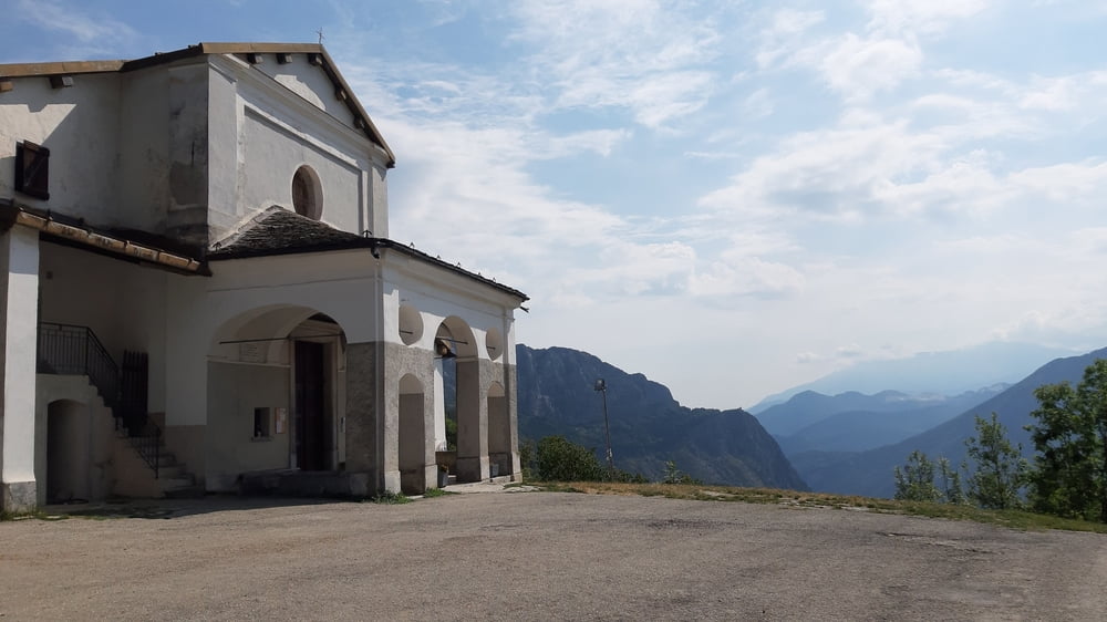
Vinadio-Fiestina-Madonna del Colletto (1306m)-Valdieri-

Colle Prarosso (1331m)-Vernante- Limone Piemonte-

Panice Soprana

Auf der wenig befahrenen Straße nach Fiestina. Bei einem Brunnen habe ich eine Bikerlocal getroffen, der mir sehr interessante Streckentipps für die Meira gibt. Bergstraße rauf zum Madonna del Colletto (1306m). Runter wieder uaf Straße nach Valdieri. 

Bissl Strada Statale, dann wieder ein sehr ruhiges Straßerl rauf zum Colla Prarosso, 1331m. Ca 3km vor und nach dem Colle Schotter. Weiter nach Vernante hätte es ein paar Abschnitte abseits der Straße gegeben, leider schlecht bis gar nicht beschildert.

Ab Vernante die SS  gemächlich ansteigend Rg Limone und Panice Soprana. Offenbar ein Startpunkt für Schifahrer.

Quartier: B&B Locanda del Colle, eine Winterbettenburg offenbar, NF 55€, Abendessen im Haus, ok.

Tour gallery

Tour map and elevation profile

  • Open Street Map
  • Google
Minimum height 707 m Maximum height 1359 m Detailed view

More about the tour author

mitter
Member since 2008

Send private message

Comments

Start in Vinadio Hotel Ligure.

GPS tracks

Trackpoints
  • GPX / Garmin Map Source (gpx) download
  • TCX / Garmin Training Center® (tcx) download
  • CRS / Garmin Training Center® (crs) download
  • Google Earth (kml) download
  • G7ToWin (g7t) download
  • TTQV (trk) download
  • Overlay (ovl) download
  • Fugawi (txt) download
  • Kompass (DAV) Track (tk) download
  • Track data sheet (pdf) download
  • Original file of the author (gpx) download

More about the tour author

mitter
Member since 2008

Send private message
Share track
Add to my favorites
Remove from my favorites
Edit tags
My score
Rate
Track: Vinadio-Panice Soprana 220802 (13. Wildwest 2022)
Type: Mountain bike
Distance: 63,0 km
Evaluated on:
Duration:
Day(s)
Hour(s)
Minute(s)
Score: Landscape Fun factor Fitness Technique