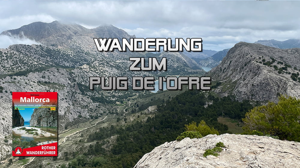
Von Wanderparkplatz verläuft die Wanderung an der nordwestlichen Seite vom See vorbei bis es in einen Bergsattel zum I’Ofre hinaufgeht. Zunächst Höhe haltend geht es um den I‘Òfre herum, bis die Wanderung steil zum Gipfel ansteigt. Nach einem herrlichen Panorama Rundblick führt der Abstieg wieder zum See und umrunden ihn letztlich südöstlich auf der anderen Seite zum Parkplatz hin.
Tour gallery
Tour map and elevation profile
Minimum height 729 m
Maximum height 1093 m
Comments

GPS tracks
Trackpoints-
GPX / Garmin Map Source (gpx) download
-
TCX / Garmin Training Center® (tcx) download
-
CRS / Garmin Training Center® (crs) download
-
Google Earth (kml) download
-
G7ToWin (g7t) download
-
TTQV (trk) download
-
Overlay (ovl) download
-
Fugawi (txt) download
-
Kompass (DAV) Track (tk) download
-
Track data sheet (pdf) download
-
Original file of the author (gpx) download
Add to my favorites
Remove from my favorites
Edit tags
Open track
My score
Rate


