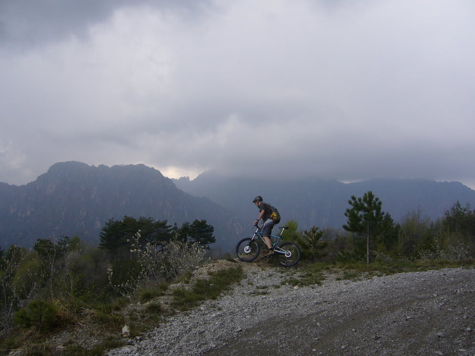
Geniale autofreie Rundtour mit großem Trailanteil durch einzigartige Landschaft. Mit der Fähre von Riva nach Limone und Aufahrt über den spektaklären 106er Weg, Abfahrt über genialen Roccetta Weg nach Riva. Wer bei der Kreuzung (29.4km/960 m.ü.m.) schon genug vom Trailfahren hat fährt rechts über die Forstrasse nach Pregasina ab. Alle die noch Lust auf mehr S2/3 Trails haben folgen dem Track!
Tour gallery
Tour map and elevation profile
Minimum height 66 m
Maximum height 1325 m
Comments

GPS tracks
Trackpoints-
GPX / Garmin Map Source (gpx) download
-
TCX / Garmin Training Center® (tcx) download
-
CRS / Garmin Training Center® (crs) download
-
Google Earth (kml) download
-
G7ToWin (g7t) download
-
TTQV (trk) download
-
Overlay (ovl) download
-
Fugawi (txt) download
-
Kompass (DAV) Track (tk) download
-
Track data sheet (pdf) download
-
Original file of the author (gpx) download
Add to my favorites
Remove from my favorites
Edit tags
Open track
My score
Rate


