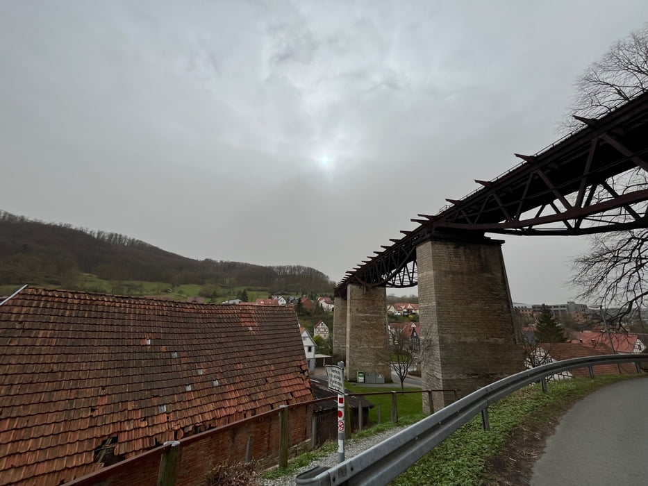
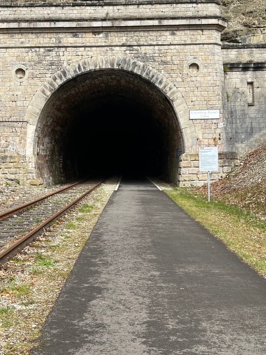
Start der Tour war auf dem zentralen Parkplatz in Lengenfeld unterm Stein. Die erste Hälfte der Strecke verlief stetig bergan nach Dingelstädt zum Café Luise. Das hatte noch Winterpause. Bei 21 Grad?! ? So gab's dann vom Bäcker im REWE ☕️ und ?. Nach einem kleinen Schlenker durch Dingelstädt ging es zurück nach Lengenfeld unterm Stein.
Ingesamt eine schöne Tour auf einer alten Bahnstrecke mit 5 kalten ? Tunneldurchfahrten.
Further information at
https://www.bahntrassenradwege.de/index.php?page=Kanonenbahn-RadwegTour gallery
Tour map and elevation profile
Minimum height 259 m
Maximum height 407 m
Comments

GPS tracks
Trackpoints-
GPX / Garmin Map Source (gpx) download
-
TCX / Garmin Training Center® (tcx) download
-
CRS / Garmin Training Center® (crs) download
-
Google Earth (kml) download
-
G7ToWin (g7t) download
-
TTQV (trk) download
-
Overlay (ovl) download
-
Fugawi (txt) download
-
Kompass (DAV) Track (tk) download
-
Track data sheet (pdf) download
-
Original file of the author (gpx) download
Add to my favorites
Remove from my favorites
Edit tags
Open track
My score
Rate


