


Die Strecke verläuft hauptsächlich auf Rad- und Feldwege.
Start der Tour ist in Ebreichsdorf, über Feldwege geht es nach Velm und Himberg wo der EV9A (Triestingauradweg) nach Schwechat führt.
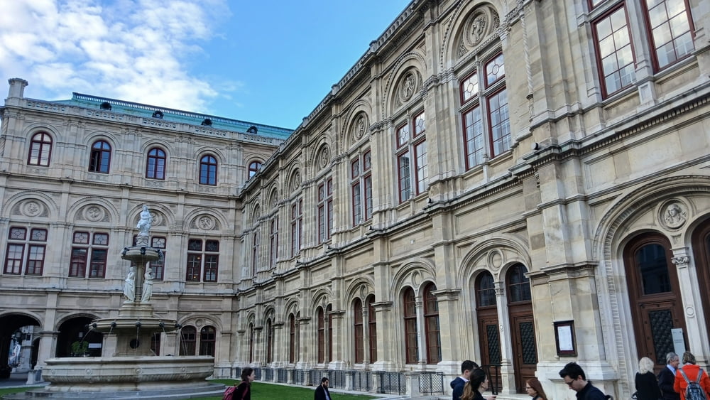
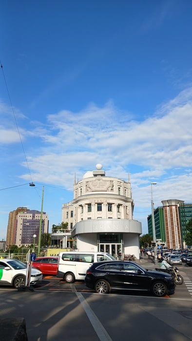
Ab Schwechat weiter über Radwege auf die Donauinsel, Prater Hauptallee und entlang dem Donaukanal Richtung 1. Bezirk.
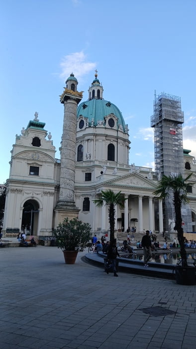
Vom 1. Bezirk dem Euro Velo 9 (Thermenradweg) bis Münchendorf folgen, über Feldwege mit Einkehr in Schranawand zurück nach Ebreichsdorf.
Bekannte Sehenswürdigkeiten z.B.: Urania, Stephansdom, Kaisergruft, Staatsoper
Further information at
https://www.wien.gv.at/stadtplan/grafik.aspx?bookmark=CeBcRpFGLkbADiJEbjW5Q-a5RpllVxv4P&lang=de&bmadr=Tour gallery
Tour map and elevation profile
Minimum height 142 m
Maximum height 256 m
More about the tour author
|
|
kersti |
Comments

Der Bahnhof Ebreichsdorf befindet sich in der Nähe.
GPS tracks
Trackpoints-
GPX / Garmin Map Source (gpx) download
-
TCX / Garmin Training Center® (tcx) download
-
CRS / Garmin Training Center® (crs) download
-
Google Earth (kml) download
-
G7ToWin (g7t) download
-
TTQV (trk) download
-
Overlay (ovl) download
-
Fugawi (txt) download
-
Kompass (DAV) Track (tk) download
-
Track data sheet (pdf) download
-
Original file of the author (gpx) download
More about the tour author
|
|
kersti |
Add to my favorites
Remove from my favorites
Edit tags
Open track
My score
Rate