


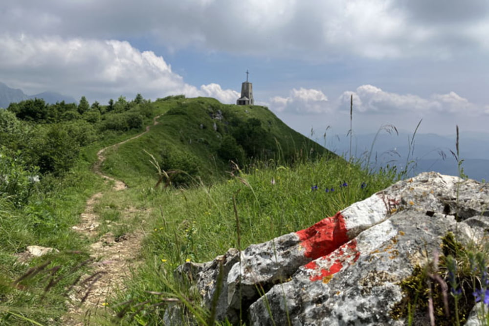
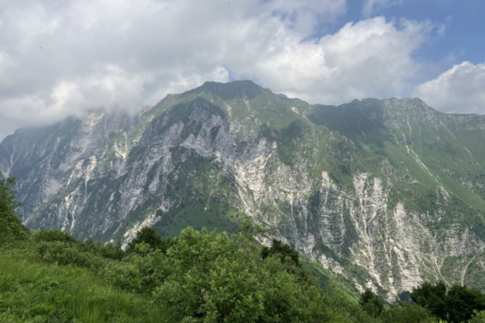
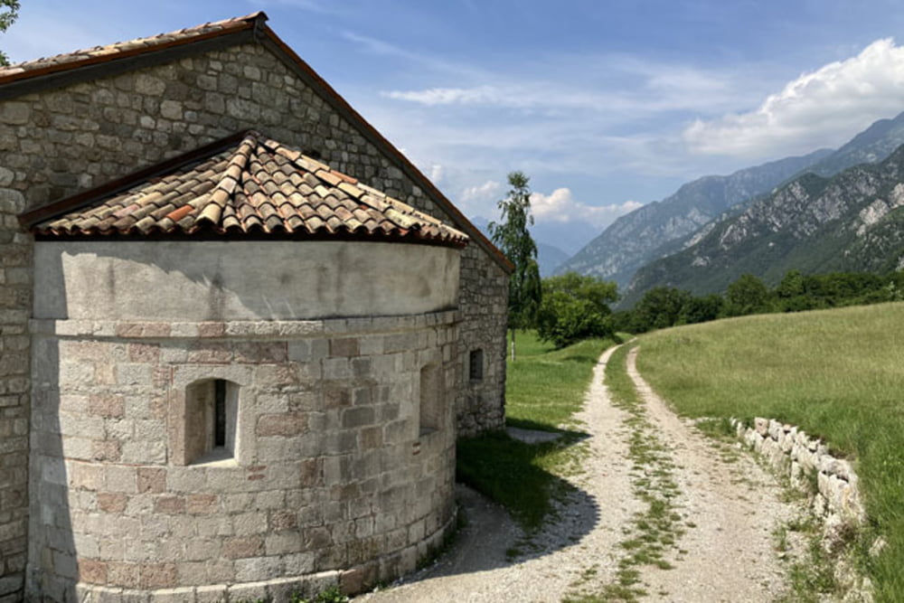
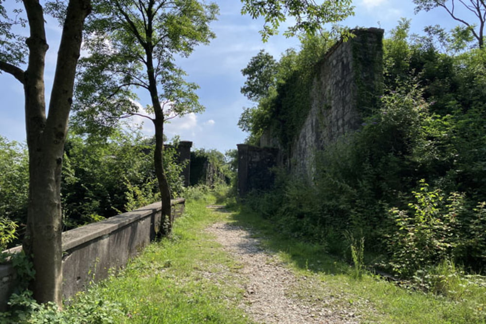
Gemona del Friuli-Strada di Foredor (do parkirišča pod Malga Cuarnan pot poteka po ozki asfaltni cesti, od tu do vzletišča jadralnih padal pa po makadamu)-Malga Cuarnan-Ôrs di Cuarnan-Sentiero 715 (od vzletišča jadralnih padal do vrha pot poteka po pešpoti Sentiero 715, malo manj kot kilometer bo kolo potrebno potiskati oz. nositi)-Ricovero Elio Pischiutti-Cuarnan-Cuarnan Sentiero Nord-Sella Foredor (z vrha se spustimo po izjemno strmem in zahtevnem "Cuarnan trail Nord". Nepoln kilometer spusta poteka pretežno po kamniti in skalnati stezi, ki je v mokrem izjemno nevarna, nevešči smo del poti prepešačili)-Torrente Vegliato-Riul da Laceit-Riul Fontanat (Gobbe trail)-Strada di Ledis-Sella di Sant Agnese-Minisini-Discesa degli Scout-Via Monte Ercole-Forte di Monte Ercole-Lago di Ospedaletto-Ospedaletto-Gemona
Further information at
https://mtb-itd.si/Einschränkungen
This tour has a carry or push section on 2 kilometers
Tour gallery
Tour map and elevation profile
Minimum height 186 m
Maximum height 1323 m
More about the tour author
|
|
andrejno |
Comments

Gemona del Friuli-Strada di Foredor-Malga Cuarnan-Ôrs di Cuarnan-Sentiero 715-Ricovero Elio Pischiutti-Cuarnan-Cuarnan Sentiero Nord-Sella Foredor-Torrente Vegliato-Riul da Laceit-Riul Fontanat (Gobbe trail)-Strada di Ledis-Sella di Sant Agnese-Minisini-Discesa degli Scout-Via Monte Ercole-Forte di Monte Ercole-Lago di Ospedaletto-Ospedaletto-Gemona
Einschränkungen
This tour has a carry or push section on 2 kilometers
GPS tracks
Trackpoints-
GPX / Garmin Map Source (gpx) download
-
TCX / Garmin Training Center® (tcx) download
-
CRS / Garmin Training Center® (crs) download
-
Google Earth (kml) download
-
G7ToWin (g7t) download
-
TTQV (trk) download
-
Overlay (ovl) download
-
Fugawi (txt) download
-
Kompass (DAV) Track (tk) download
-
Track data sheet (pdf) download
-
Original file of the author (gpx) download
More about the tour author
|
|
andrejno |
Add to my favorites
Remove from my favorites
Edit tags
Open track
My score
Rate