


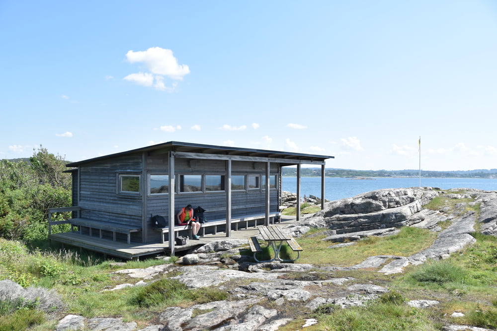
Wir stehen am Campingplatz in Rörvik (sehr schön, lockere Plätze, 500m zum Strand im Naturschutzgebiet, nette Platzwirtin) und fahren von dort Richtigung Kungsbacka. An einem Bauernhofladen kaufen wir Honig und Marmelade und Brot. Weiter gings dann am Lyngnern-See vorbei zurück an die Küste. Die treffen wir bei Vassbäck. Dort treffen wir auf den Kattegattleden und folgen ihm bis zum Campingplatz zurück mit nur wenigen Abweichungen.
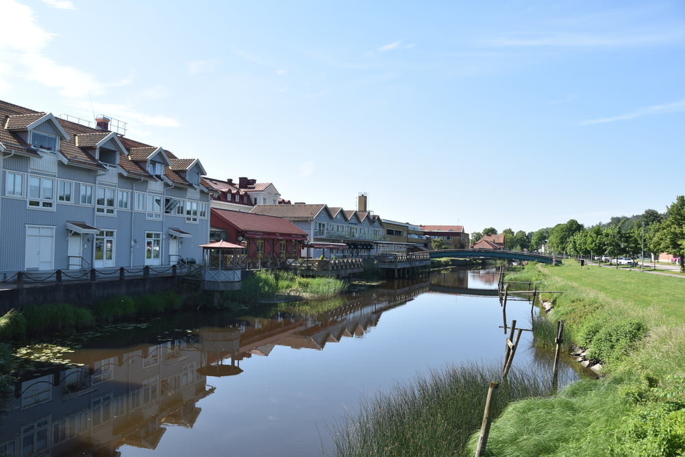
In Fjärås finden wir ein Cafe, wo wir Kanelbulle und Kaffee trinken. Die Wege sind alle geteert, so dass man auch mit dem Rennrad fahren kann. Teilweise rauher Teer.
Superschöne Landschaft. Wir haben richtig Sommer, allerdings kommen nachmittags Gewitter. Als wir zurück sind und gebadet hatten, hat es kurz geregnet.
Further information at
https://www.rorvikscampingonsala.se/Tour gallery
Tour map and elevation profile
Minimum height -2 m
Maximum height 84 m
More about the tour author

|
smartandem |
Comments

In Deutschland bis Rostock und von dort mit der Fähre nach Trelleborg. Ab da auf der E22 und E6 bis Kungsbacka fahren. Ab da auf der Landstraße über Gottskär bis zum Campingplatz.
Der Platz ist an der Straße zwischen Gottskär und Backa ausgeschildert.
GPS tracks
Trackpoints-
GPX / Garmin Map Source (gpx) download
-
TCX / Garmin Training Center® (tcx) download
-
CRS / Garmin Training Center® (crs) download
-
Google Earth (kml) download
-
G7ToWin (g7t) download
-
TTQV (trk) download
-
Overlay (ovl) download
-
Fugawi (txt) download
-
Kompass (DAV) Track (tk) download
-
Track data sheet (pdf) download
-
Original file of the author (gpx) download
More about the tour author
|
|
smartandem |
Add to my favorites
Remove from my favorites
Edit tags
Open track
My score
Rate