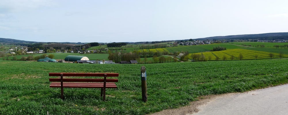
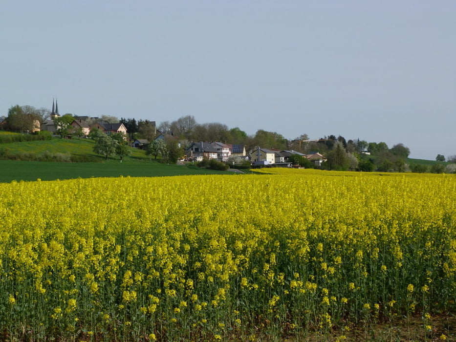
Die "Bitburger LandGang" Wander- und Spazierwege sind über das gesamte Bitburger Land verteilt. Mit 2 bis 8 Kilometern und von leicht bis schwer ist hier für jeden Geschmack und Kondition etwas dabei. Zeit für mich, diese Wege auch mal etwas näher kennenzulernen ...
Tour gallery
Tour map and elevation profile
Minimum height 289 m
Maximum height 383 m
Comments

GPS tracks
Trackpoints-
GPX / Garmin Map Source (gpx) download
-
TCX / Garmin Training Center® (tcx) download
-
CRS / Garmin Training Center® (crs) download
-
Google Earth (kml) download
-
G7ToWin (g7t) download
-
TTQV (trk) download
-
Overlay (ovl) download
-
Fugawi (txt) download
-
Kompass (DAV) Track (tk) download
-
Track data sheet (pdf) download
-
Original file of the author (gpx) download
Add to my favorites
Remove from my favorites
Edit tags
Open track
My score
Rate


