
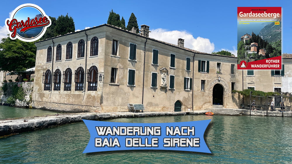

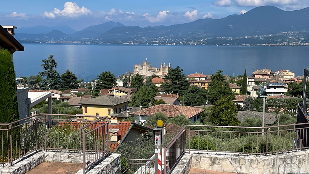
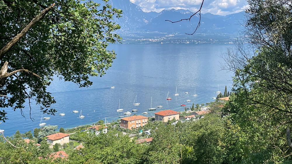
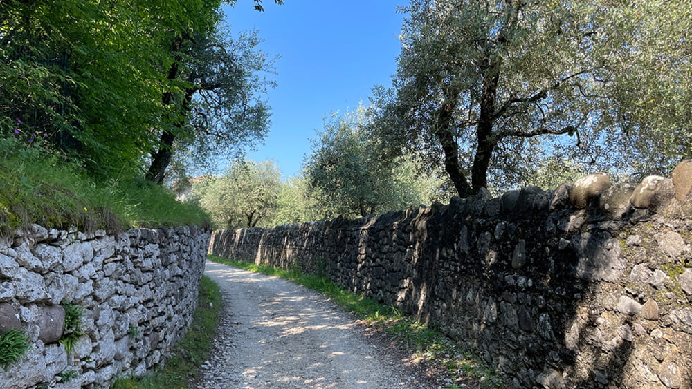
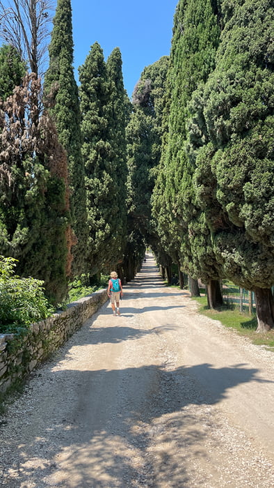
Die schöne und leichte Wanderung bietet herrliche Ausblicke auf den Monte Baldo und besonders auf das gegenüberliegende Gardaseeufer mit Gadone Rivera und Gargnano sowie den stolz darüber erhebenden Monte Pizzocolo. Wir streifen dabei durch Olivenhaine und entlang von pittoresken Natursteinmauern. Die Punta San Vigilio, die auch den poetischen Namen - Baia delle Sirene – trägt, ist einer der berühmtesten Orte entlang am Seeufers. San Vigilio war vermutlich schon zu römischen Zeiten besiedelt. Von dem verträumten Fleckchen am Seeufer geht es auf selben Weg zurück nach Torri del Benaco.
Tour gallery

Tour map and elevation profile
Minimum height 67 m
Maximum height 175 m
More about the tour author
|
|
schleidy |
Comments

GPS tracks
Trackpoints-
GPX / Garmin Map Source (gpx) download
-
TCX / Garmin Training Center® (tcx) download
-
CRS / Garmin Training Center® (crs) download
-
Google Earth (kml) download
-
G7ToWin (g7t) download
-
TTQV (trk) download
-
Overlay (ovl) download
-
Fugawi (txt) download
-
Kompass (DAV) Track (tk) download
-
Track data sheet (pdf) download
-
Original file of the author (gpx) download
More about the tour author
|
|
schleidy |
Add to my favorites
Remove from my favorites
Edit tags
Open track
My score
Rate