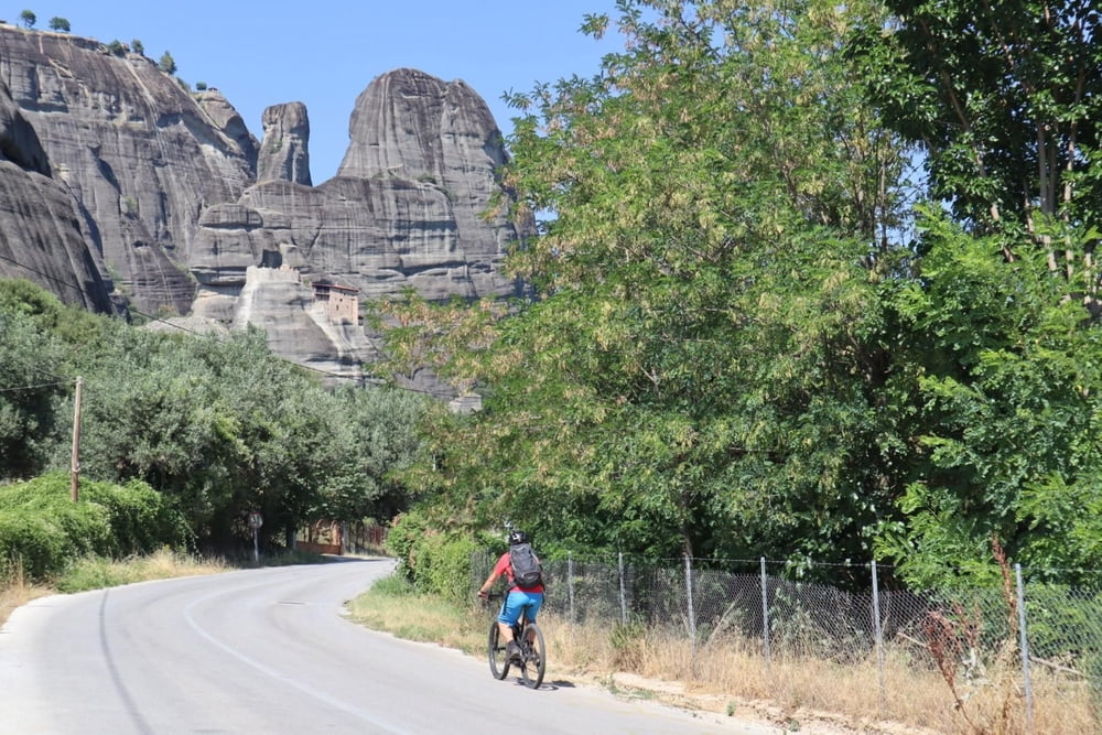
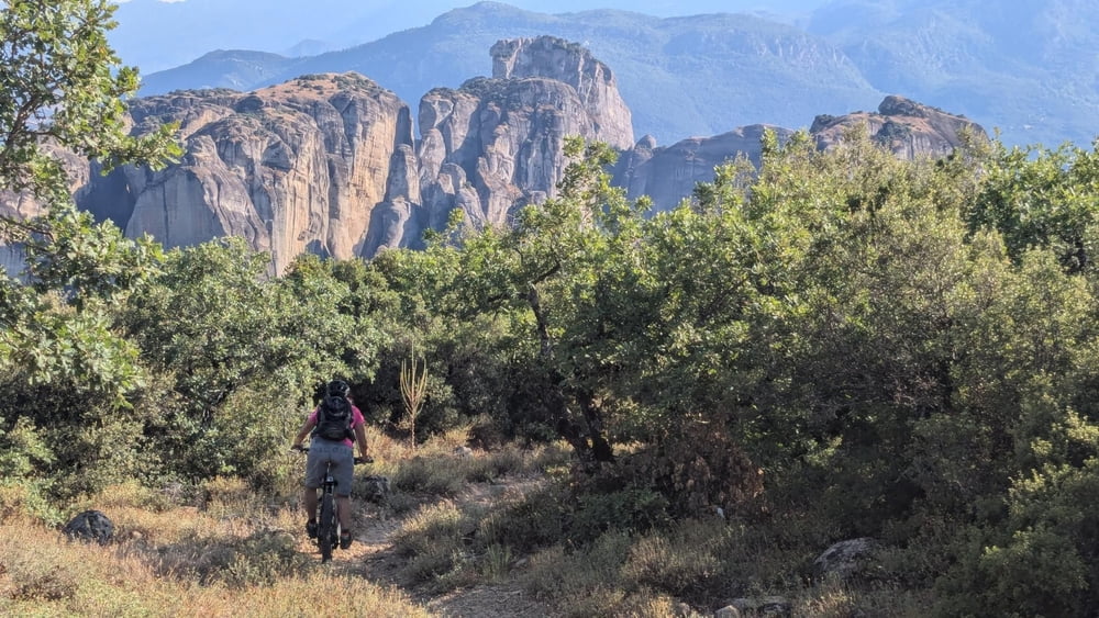
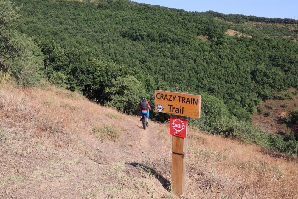
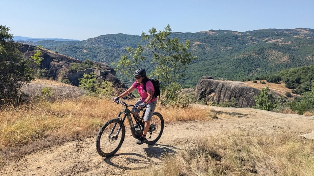
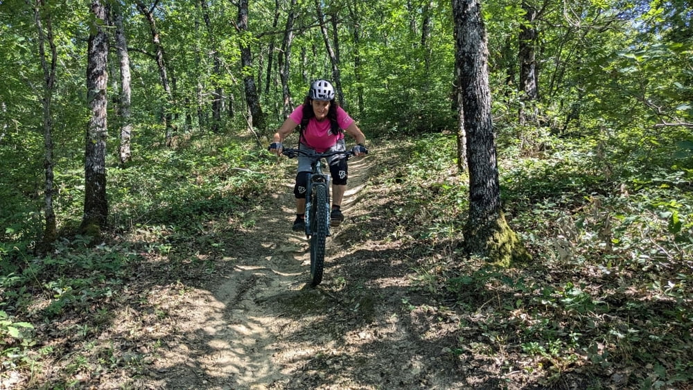
This tour goes around Meteora monasteries. We started in a campground Kastraki. Mostly trails and unpaved roads. Technically S0 - S1. There is MTB race in spring on these trails.
Further information at
https://www.strava.com/activities/11832351275Einschränkungen
This tour has a carry or push section on 0.1 kilometers
Tour gallery
Tour map and elevation profile
Minimum height 235 m
Maximum height 662 m
Comments

Einschränkungen
This tour has a carry or push section on 0.1 kilometers
GPS tracks
Trackpoints-
GPX / Garmin Map Source (gpx) download
-
TCX / Garmin Training Center® (tcx) download
-
CRS / Garmin Training Center® (crs) download
-
Google Earth (kml) download
-
G7ToWin (g7t) download
-
TTQV (trk) download
-
Overlay (ovl) download
-
Fugawi (txt) download
-
Kompass (DAV) Track (tk) download
-
Track data sheet (pdf) download
-
Original file of the author (gpx) download
Add to my favorites
Remove from my favorites
Edit tags
Open track
My score
Rate

