


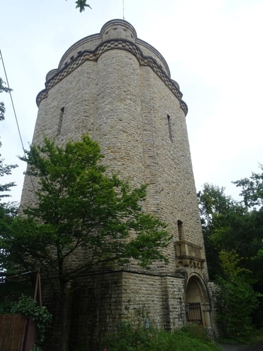
Nach einer kurzen Tour durch Gau-Algesheim geht es steil bergauf zur Höhe und dann durch das Naturschutzgebiet Gau-Algesheimer Kopf bis zur Schutzhütte. Dort genießt man den Weitblick über Gau-Algesheim hinweg bis nach Bingen (bei gutem Wetter). Dann geht es weiter auf der "Hiwweltour Bismarkturm" bis man den Turm erreicht. Von der Aussichtsplattform sieht man Ingelheim im Tal und in der Ferne das Rheintal. Über Feldwege geht es über die Höhe, an Obstplantagen vorbei, bis Großwinternheim. Am Ortsrand biege ich nach links ab und folge dem Selztal-Radweg an Ingelheim vorbei und über Feldwege zurück nach Gau-Algesheim.
Further information at
https://sonntagswandern.de/von-gau-algesheim-zum-bismarckturm-und-durch-das-selztal-4-august-2024/Tour gallery
Tour map and elevation profile
Minimum height 176 m
Maximum height 330 m
More about the tour author

|
Sonntagswanderin |
Comments

mit der Bahn nach Gau-Algesheim
GPS tracks
Trackpoints-
GPX / Garmin Map Source (gpx) download
-
TCX / Garmin Training Center® (tcx) download
-
CRS / Garmin Training Center® (crs) download
-
Google Earth (kml) download
-
G7ToWin (g7t) download
-
TTQV (trk) download
-
Overlay (ovl) download
-
Fugawi (txt) download
-
Kompass (DAV) Track (tk) download
-
Track data sheet (pdf) download
-
Original file of the author (gpx) download
More about the tour author
|
|
Sonntagswanderin |
Add to my favorites
Remove from my favorites
Edit tags
Open track
My score
Rate