


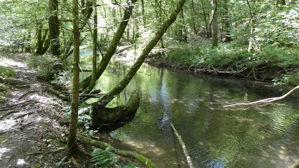
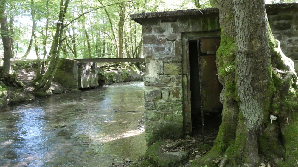
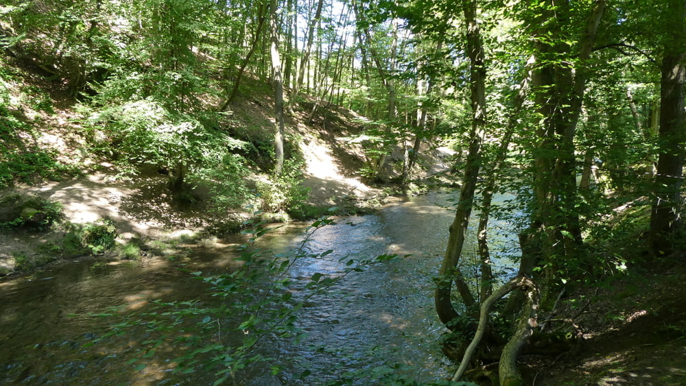
Diese Wanderung ist besonders an warmen Sommertagen zu empfehlen, weil sie in einer langgezogenen Acht über schmale Uferpfade an rauschenden Bächen entlang führt. Die Pfade sind teilweise unwegsam aber sehr idyllisch.
Further information at
https://www.sudowe.eu/index.php/renate-s-blog/berichte-2024/392-hundebadespasswanderungTour gallery
Tour map and elevation profile
Minimum height 67 m
Maximum height 128 m
More about the tour author
|
|
Renatelev |
Comments

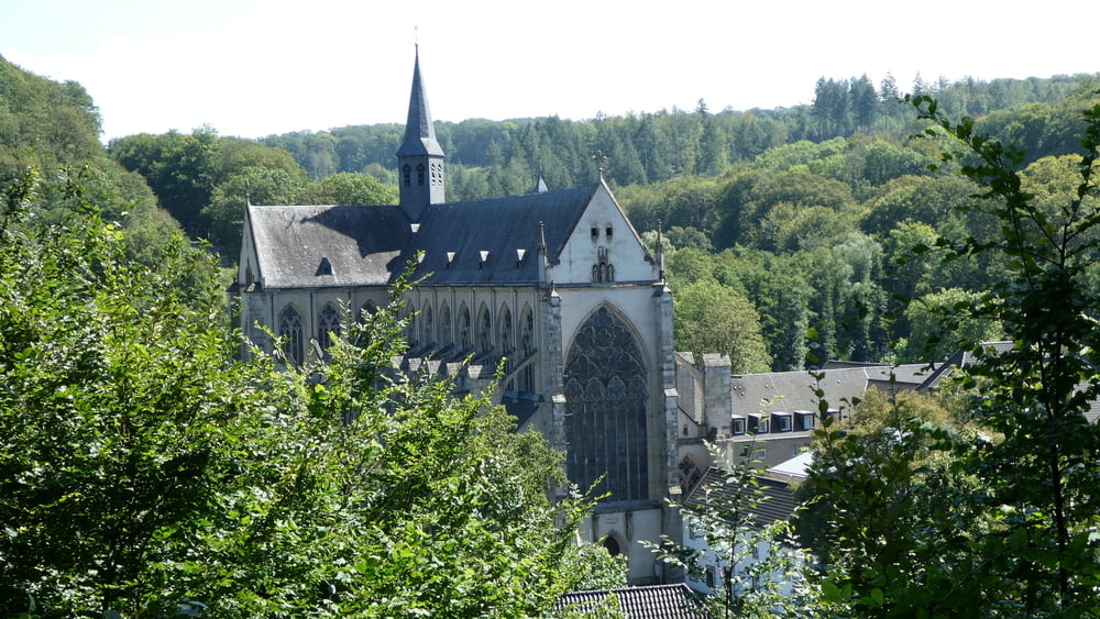
Reisegarten Schöllerhof, Odenthal Altenberg
GPS tracks
Trackpoints-
GPX / Garmin Map Source (gpx) download
-
TCX / Garmin Training Center® (tcx) download
-
CRS / Garmin Training Center® (crs) download
-
Google Earth (kml) download
-
G7ToWin (g7t) download
-
TTQV (trk) download
-
Overlay (ovl) download
-
Fugawi (txt) download
-
Kompass (DAV) Track (tk) download
-
Track data sheet (pdf) download
-
Original file of the author (gpx) download
More about the tour author
|
|
Renatelev |
Add to my favorites
Remove from my favorites
Edit tags
Open track
My score
Rate