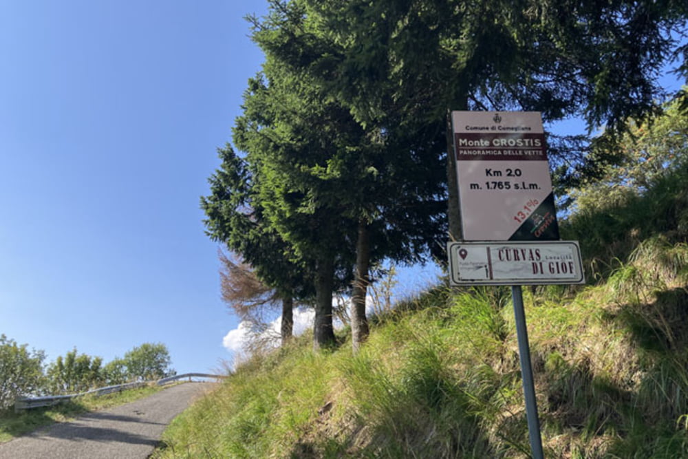
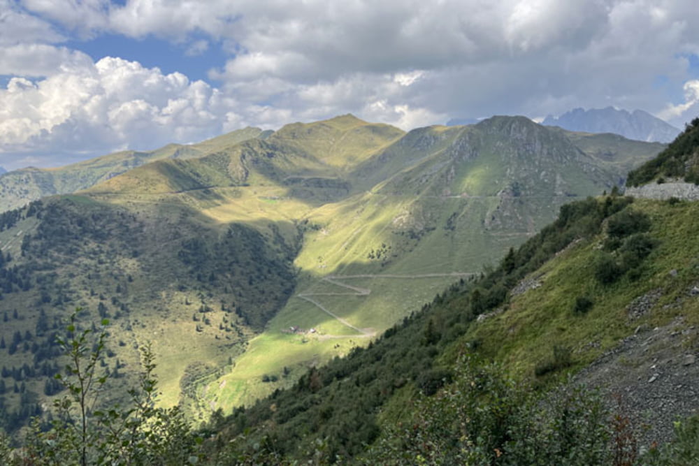
Ravascletto-Salars-Tualis (Strada Panoramica della Vette - leta 2011 je bil vzpon speljan po trasi te ceste, v povprečju naklon presega 13% in je v celoti asfaltiran)-Casera Agar di Galante-Punta di Saffrucella-Monte Neval-Sentiero 151 (vzpon na neizraziti Monte Neval in na še nekaj deset metrov višji vrh z manjšo meteorološko postajo poteka po neoznačeni pešpoti; če se odločite za ta dodatni vzpon bo kolo potrebno nekaj sto metrov potiskati. Spust proti Agriturismo Chiadinas poteka po označeni stezi Sentiero 151)-Malga Chiadinis-Casera Crostis-Casera Tarondut Alta-Casera Tarandon-Casera Valsecca-Casera Glarětz-Sella Valcalda-Ravascletto
Further information at
https://mtb-itd.si/Einschränkungen
This tour has a carry or push section on 0.5 kilometers
Tour gallery
Tour map and elevation profile
Minimum height 846 m
Maximum height 2060 m
Comments

Ravascletto-Salars-Tualis (Strada Panoramica della Vette)-Casera Agar di Galante-Punta di Saffrucella-Monte Neval-Sentiero 151-Malga Chiadinis-Casera Crostis-Casera Tarondut Alta-Casera Tarandon-Casera Valsecca-Casera Glarětz-Sella Valcalda-Ravascletto
Einschränkungen
This tour has a carry or push section on 0.5 kilometers
GPS tracks
Trackpoints-
GPX / Garmin Map Source (gpx) download
-
TCX / Garmin Training Center® (tcx) download
-
CRS / Garmin Training Center® (crs) download
-
Google Earth (kml) download
-
G7ToWin (g7t) download
-
TTQV (trk) download
-
Overlay (ovl) download
-
Fugawi (txt) download
-
Kompass (DAV) Track (tk) download
-
Track data sheet (pdf) download
-
Original file of the author (gpx) download
Add to my favorites
Remove from my favorites
Edit tags
Open track
My score
Rate

