


Rundweg auf dem Urwaldsteig zum Aussichtspunkt Hochfels und über den Grenzsteig wieder zurück.
Info: Mittelschwere Wandertour.
Route: Wanderparkplatz – Beginn Urwaldsteig – Aussichtspunkt Hochfels – Johannesruhe – Grenzsteig – Wanderparkplatz
Start / Ziel: Parkplatz Grenzbahnhof Bewegungsparcours
POI:
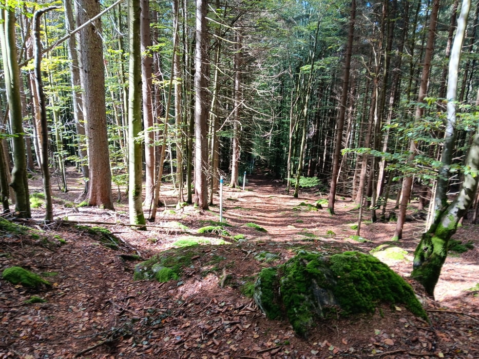
1) Der Erlebnisweg bei Bayerisch Eisenstein im Nationalpark Bayerischer Wald, führt in urwaldartige Gebiete, in denen viel absterbende und tote Bäume anzutreffen sind. (Quelle: www.bayerischer-wald.de)
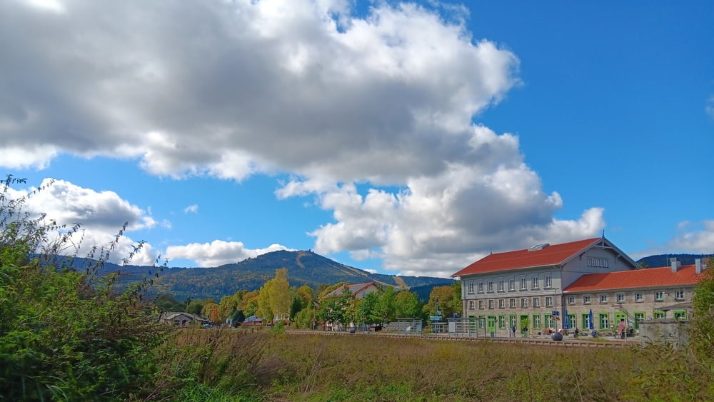
2) Auf der Nordseite des Hochbergs befindet sich der Hochfels (875 m) mit gutem Blick auf Bayerisch Eisenstein und den Großen Arber. (Quelle: Wikipedia)
Bitte beachten:
Meine Touren sind zum Benutzen für GPS-Geräte gedacht. Die Wegbeschreibung (Route) stellt nur einen groben Überblick über die Tour zum Zeitpunkt der Tourerstellung dar. Ohne GPS-Gerät ist der Streckenverlauf oftmals schwierig zu finden. Wegegebote und behördliche Einschränkungen sind eigenverantwortlich zu beachten.
Tour gallery


Tour map and elevation profile
Minimum height 721 m
Maximum height 940 m
More about the tour author

|
ejee |
Comments

GPS tracks
Trackpoints-
GPX / Garmin Map Source (gpx) download
-
TCX / Garmin Training Center® (tcx) download
-
CRS / Garmin Training Center® (crs) download
-
Google Earth (kml) download
-
G7ToWin (g7t) download
-
TTQV (trk) download
-
Overlay (ovl) download
-
Fugawi (txt) download
-
Kompass (DAV) Track (tk) download
-
Track data sheet (pdf) download
-
Original file of the author (gpx) download
More about the tour author
|
|
ejee |
Add to my favorites
Remove from my favorites
Edit tags
Open track
My score
Rate