Login

Forgotten password?

Cookies have to be accepted!
Your browser's cookie functionality is disabled. Please enable this functionality.

Not a member yet?

Register now
Login

Available for registred users only

Log in to use this feature.

Forgotten password?

Cookies have to be accepted!
Your browser's cookie functionality is disabled. Please enable this functionality.

Not a member yet?

Register now
Filter
Categories
Advanced filters
  • Distance (km)
  • Height
Save filters Reset filter

TrackRank

QRCode

Technical data

Distance12,1 km Height348 m Way down351 m Duration05:02 h:m Date30.09.2024
Scores Author Landscape Fun factor Fitness Technique

Statistics

142 Views Scores 0 Downloads Average
Rate
  • Track data sheet
  • Directions
  • Downloads

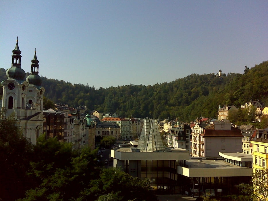
Wir starteten an unserem Quartier, dem Appartmenthaus Nicol in Karlsbad. Unser erstes Ziel ist der Aussichtspavillion Camera Obscura, welcher freilich nicht als echte Camera Obscura funktioniert sondern nur noch an jene erinnert! Weiter geht es zu den Drei Kreuzen und dann zum Goetheturm. Der Weg dorthin wird von Geistern bewacht!! Der Turm selbst ist allerdings nur Do bis So für Besucher geöffnet.

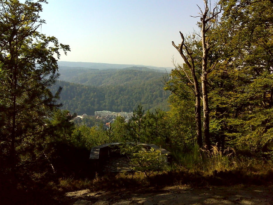
Dann wird die Aussicht erst einmal knapp ehe wir auf halber Höhe mit schöner Aussicht nach Karlsbad zurücklaufen.


Further information at

https://t.me/Freedomdayteam

Tour gallery

Tour map and elevation profile

  • Open Street Map
  • Google
Minimum height 401 m Maximum height 644 m Detailed view

More about the tour author

Saxoniaradler
Member since 2011

Send private message

Comments

An Karlsbad verlaufen die E49 (MagdeburgWien), die E442 (KarlsbadŽilina) und die E48 (SchweinfurtPrag) vorbei. Eine davon wird wohl passen!?

GPS tracks

Trackpoints
  • GPX / Garmin Map Source (gpx) download
  • TCX / Garmin Training Center® (tcx) download
  • CRS / Garmin Training Center® (crs) download
  • Google Earth (kml) download
  • G7ToWin (g7t) download
  • TTQV (trk) download
  • Overlay (ovl) download
  • Fugawi (txt) download
  • Kompass (DAV) Track (tk) download
  • Track data sheet (pdf) download
  • Original file of the author (gpx) download

More about the tour author

Saxoniaradler
Member since 2011

Send private message
Share track
Add to my favorites
Remove from my favorites
Edit tags
My score
Rate
Track: Panoramatour auf den östlichen Höhenzügen von Karlsbad
Type: Sightseeing
Distance: 12,1 km
Evaluated on:
Duration:
Day(s)
Hour(s)
Minute(s)
Score: Landscape Fun factor Fitness Technique