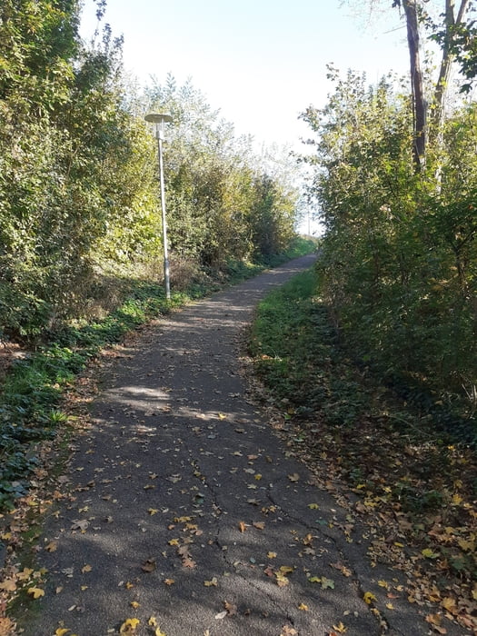
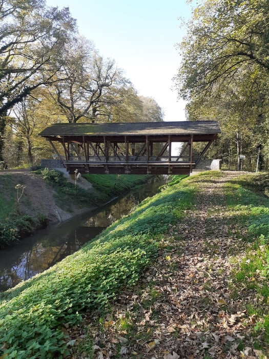
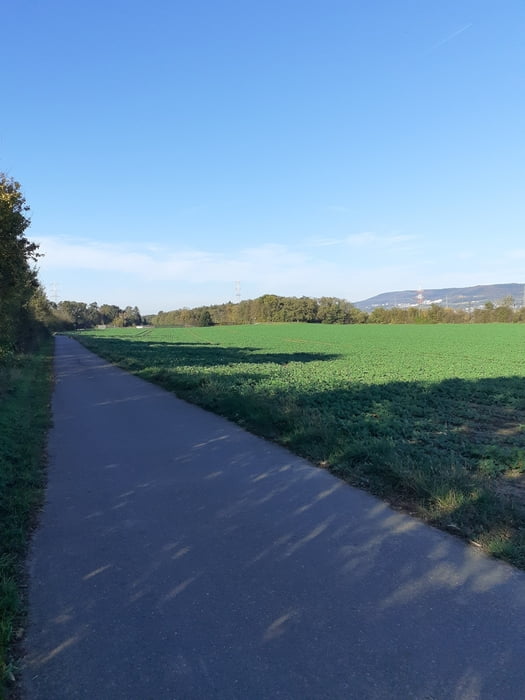
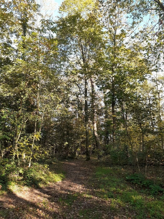
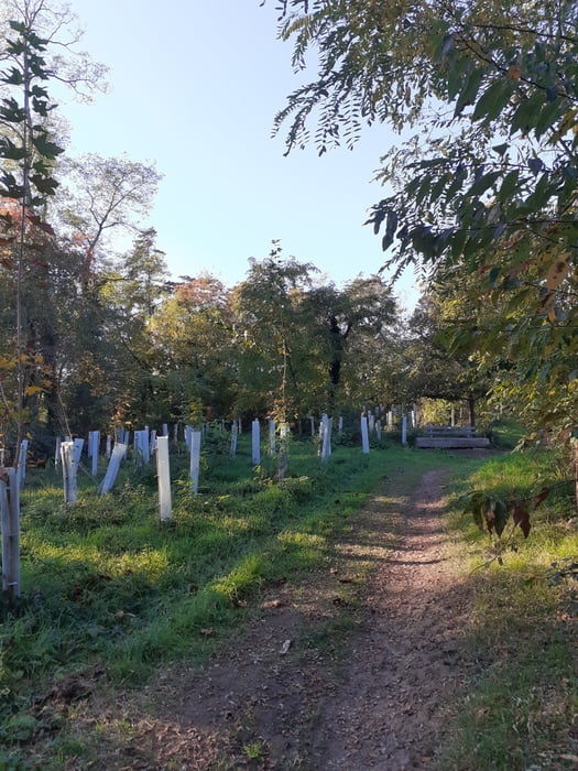
Die Wanderung führt am Rand des Sandhäuser Waldes zur "Lutherischen Brücke". Auf dem Hardbach Damm entlang über geteerte Wirtschaftswege zum Wald in St.Ilgen. Auf einem Teil des "Trimm Dich Pfads" gehts gann zurück.
Tour gallery
Tour map and elevation profile
Minimum height 107 m
Maximum height 187 m
Comments

Mit dem Auto. Parkmöglichkeiten gibt es gegen eine Gebühr dirkt am Platz. Im Aegidiusweg kann man auch ohne Gebühr parken.
Busverbindungen: Haltestelle "St.Ilgen, Europaplatz". Busse 751 und 759
GPS tracks
Trackpoints-
GPX / Garmin Map Source (gpx) download
-
TCX / Garmin Training Center® (tcx) download
-
CRS / Garmin Training Center® (crs) download
-
Google Earth (kml) download
-
G7ToWin (g7t) download
-
TTQV (trk) download
-
Overlay (ovl) download
-
Fugawi (txt) download
-
Kompass (DAV) Track (tk) download
-
Track data sheet (pdf) download
-
Original file of the author (gpx) download
Add to my favorites
Remove from my favorites
Edit tags
Open track
My score
Rate

